Enable Location

We need your location to show you interesting places around you

Discover nearby places

Find interesting locations and hidden gems around you

Precise directions

Get accurate directions and distances to places

Your location is never shared with other users. It's only used when you tap the location button.

Log in to your account

Start exploring — it's free

Trusted by 61,581 travelers worldwide

Continue with Google
Continue with Apple
or

We will send you a code to connect

By continuing, you accept our Terms and Conditions and our Privacy Policy

Check your inbox

We've sent a pincode in your inbox. Please enter the code below.

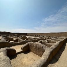
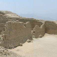
Chao District, Administrative district in Virú Province, Peru.

Description

Chao District is an administrative division in Virú Province within La Libertad region in northern Peru. The area encompasses several settlements including Buena Vista, Casablanca, and Cerrito, each serving as local centers within the wider district.

History

The district was created in 1995 as a new administrative unit to improve local governance in northern Peru. This reorganization was part of broader structural changes in the region's governmental system.

Culture

The community of Chao keeps alive agricultural practices rooted in family tradition and passed through generations. These methods shape how people work the land and structure their daily rhythm.

Practical

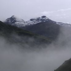
The district spans varied terrain in the Andes region, which affects access to different areas and communities within it. Visitors should prepare for varying road conditions depending on which localities they plan to visit.

Did you know?

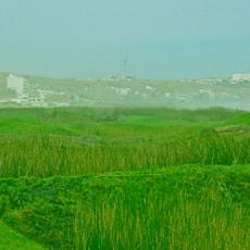
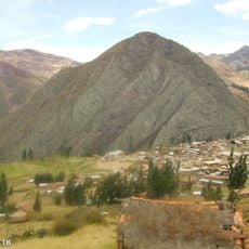
The district sits on one of northern Peru's lesser-known plains where natural water sources create distinctive growing conditions for crops. This natural advantage allows farmers to produce diverse harvests across the relatively compact territory.

Location
Capital city
Chao
Elevation above the sea
68 m
Shares border with
Virú District, Huaso District, Santiago de Chuco District, Chimbote District, Guadalupito District
GPS coordinates
-8.54050,-78.67825
Latest update
December 7, 2025 20:48

AroundUs brings together thousands of curated places, local tips, and hidden gems, enriched daily by 60,000 contributors worldwide. Discover all places nearby (Virú Province).

« Chao District - Administrative district in Virú Province, Peru » is provided by Around Us (aroundus.com). Images and texts are derived from Wikimedia project under a Creative Commons license. You are allowed to copy, distribute, and modify copies of this page, under the conditions set by the license, as long as this note is clearly visible.

Discover hidden gems everywhere you go!

From secret cafés to breathtaking viewpoints, skip the crowded tourist spots and find places that match your style. Our app makes it easy with voice search, smart filtering, route optimization, and insider tips from travelers worldwide. Download now for the complete mobile experience.

Around Us App Screenshot

A unique approach to discovering new places

Le Figaro

All the places worth exploring

France Info

A tailor-made excursion in just a few clicks

20 Minutes

Around Us
Travel Guide & Maps
Download

Send to your phone

QR Code
1

Open the camera app on your mobile.

2

Point at the QR code with your camera. A notification will appear.

3

Tap the notification to open the link.