
Virú District, district in La Libertad, Peru
Location: Virú Province
Inception: December 28, 1961
Capital city: Virú
Elevation above the sea: 23 m
Shares border with: Salaverry District, Laredo District, Carabamba District, Huaso District, Chao District
GPS coordinates: -8.41427,-78.75209
Latest update: March 3, 2025 05:53

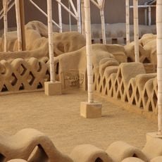
Chan Chan
49.1 km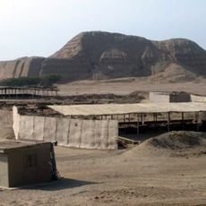
Huaca del Sol
41.2 km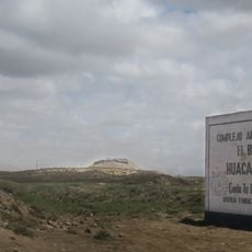
Huaca Prieta
82 km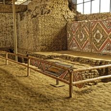
Huaca de la Luna
40.8 km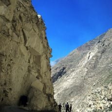
Cañón del Pato
82.2 km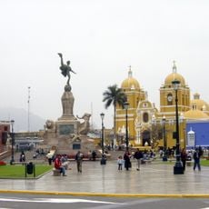
Plaza de Armas of Trujillo
45.4 km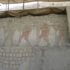
El Brujo
82.5 km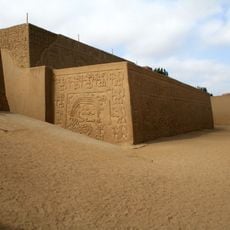
Huaca del Dragón
49.9 km
Estadio Mansiche
46 km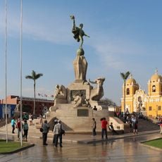
Statua antropofica
45.4 km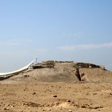
Huaca Cao Viejo
82.3 km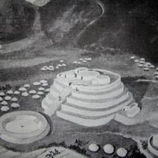
La Galgada
66 km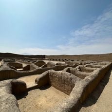
Chan Chan
49.4 km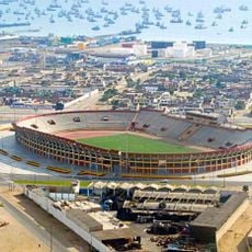
Estadio Manuel Rivera Sanchez
79.2 km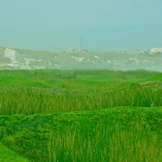
Swamps of Huanchaco
57.2 km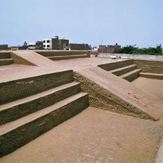
Huaca Esmeralda
47.4 km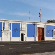
Casa Urquiaga
45.3 km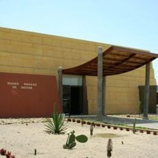
Huacas de Moche Museum
40.3 km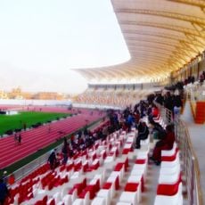
Estadio Chan Chan
44 km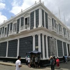
Palacio Iturregui
45.4 km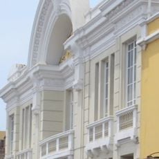
Teatro Municipal de Trujillo
45.3 km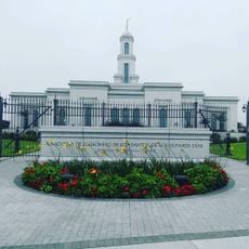
Trujillo Peru Temple
46.9 km
Cathedral of Our Lady of Carmen and San Pedro Apósto
82.4 km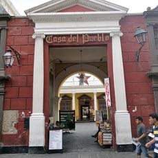
Casa del Pueblo (Trujillo)
45.4 km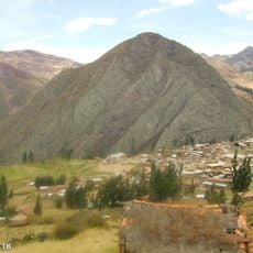
Angasmarca Temple
82.8 km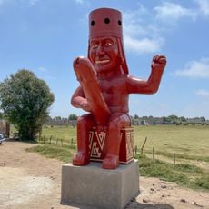
Monumento al huaco erótico moche
41.6 km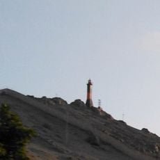
Morro Carretas Lighthouse
32.5 km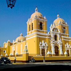
Historic center of Trujillo
45.5 kmReviews
Visited this place? Tap the stars to rate it and share your experience / photos with the community! Try now! You can cancel it anytime.
Discover hidden gems everywhere you go!
From secret cafés to breathtaking viewpoints, skip the crowded tourist spots and find places that match your style. Our app makes it easy with voice search, smart filtering, route optimization, and insider tips from travelers worldwide. Download now for the complete mobile experience.

A unique approach to discovering new places❞
— Le Figaro
All the places worth exploring❞
— France Info
A tailor-made excursion in just a few clicks❞
— 20 Minutes