Enable Location

We need your location to show you interesting places around you

Discover nearby places

Find interesting locations and hidden gems around you

Precise directions

Get accurate directions and distances to places

Your location is never shared with other users. It's only used when you tap the location button.

Huamachuco District

Log in to your account

Start exploring — it's free

Trusted by 61,909 travelers worldwide

Continue with Google
Continue with Apple
or

We will send you a code to connect

By continuing, you accept our Terms and Conditions and our Privacy Policy

Check your inbox

We've sent a pincode in your inbox. Please enter the code below.

Huamachuco District

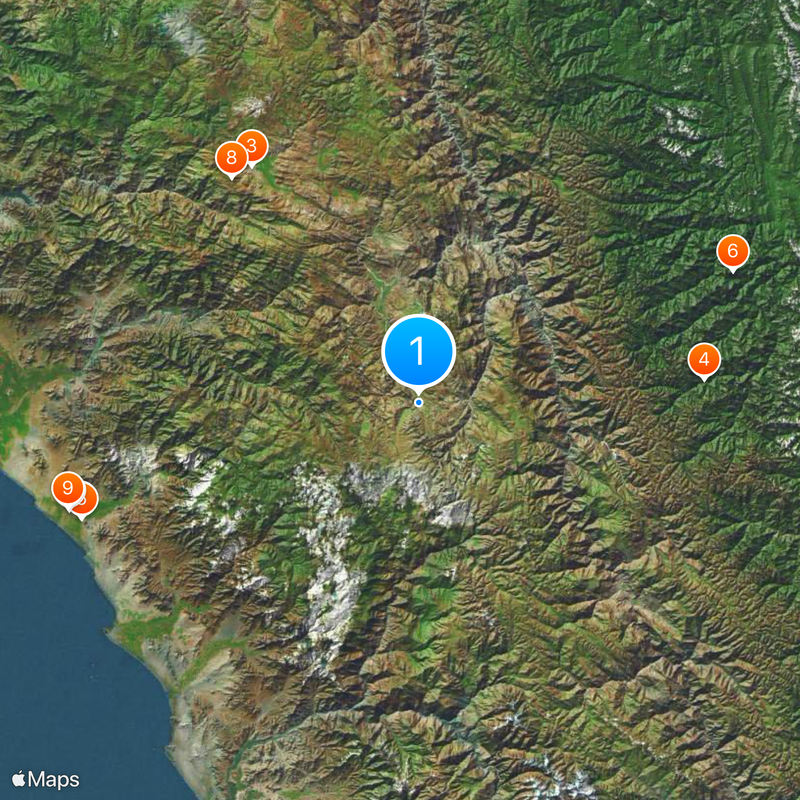
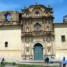
Huamachuco District, Administrative district in Sánchez Carrión Province, Peru.

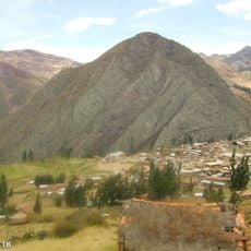
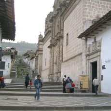
Huamachuco is an administrative district in Sánchez Carrión Province, Peru, spanning mountainous terrain in the Andes. The area includes valleys and farmland situated at approximately 3,100 meters above sea level.

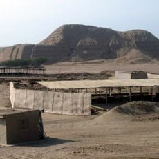
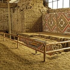
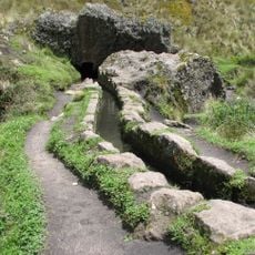
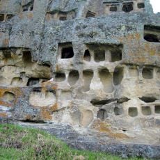
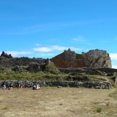
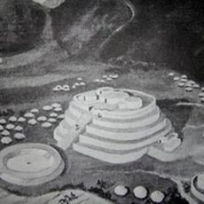
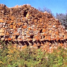
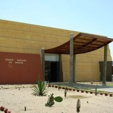
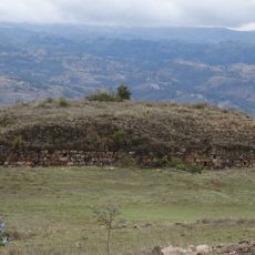
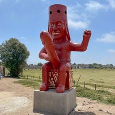
The district contains the Marcahuamachuco archaeological site, which functioned as a political and religious center between 350 and 1,100 CE. This pre-Inca settlement marks an important period in the region's early development.

Local farming practices shape daily life here, with seasonal celebrations marking the agricultural calendar throughout the year. These traditions connect families to the land and to each other across generations.

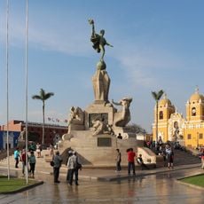
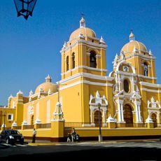
The district connects to Trujillo city through a road network of approximately 184 kilometers. Visitors should be prepared for high elevation and variable weather conditions when exploring the area.

The stone structures at Marcahuamachuco show advanced building techniques from pre-Inca times that still intrigue researchers today. The precision of these ancient constructions reveals the skill of the region's early craftspeople.

The community of curious travelers

AroundUs brings together thousands of curated places, local tips, and hidden gems, enriched daily by 60,000 contributors worldwide.

Start exploring
Capital city
Huamachuco
Elevation above the sea
3,110 m
Shares border with
Chugay District, Curgos District, Sarín District, Cachicadán District, Quiruvilca District, Sanagorán District, Marcabal District
GPS coordinates
-7.81544,-78.04865
Latest update
December 20, 2025 15:28
« Huamachuco District - Administrative district in Sánchez Carrión Province, Peru » is provided by Around Us (aroundus.com). Images and texts are derived from Wikimedia project under a Creative Commons license. You are allowed to copy, distribute, and modify copies of this page, under the conditions set by the license, as long as this note is clearly visible.

Discover hidden gems everywhere you go!

From secret cafés to breathtaking viewpoints, skip the crowded tourist spots and find places that match your style. Our app makes it easy with voice search, smart filtering, route optimization, and insider tips from travelers worldwide. Download now for the complete mobile experience.

Around Us App Screenshot

A unique approach to discovering new places

Le Figaro

All the places worth exploring

France Info

A tailor-made excursion in just a few clicks

20 Minutes

Around Us
Travel Guide & Maps
Download

Send to your phone

QR Code
1

Open the camera app on your mobile.

2

Point at the QR code with your camera. A notification will appear.

3

Tap the notification to open the link.