Enable Location

We need your location to show you interesting places around you

Discover nearby places

Find interesting locations and hidden gems around you

Precise directions

Get accurate directions and distances to places

Your location is never shared with other users. It's only used when you tap the location button.

Puerto Madero

Log in to your account

Start exploring — it's free

Trusted by 61,665 travelers worldwide

Continue with Google
Continue with Apple
or

We will send you a code to connect

By continuing, you accept our Terms and Conditions and our Privacy Policy

Check your inbox

We've sent a pincode in your inbox. Please enter the code below.

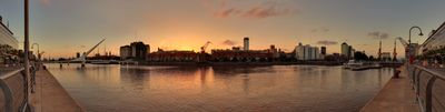
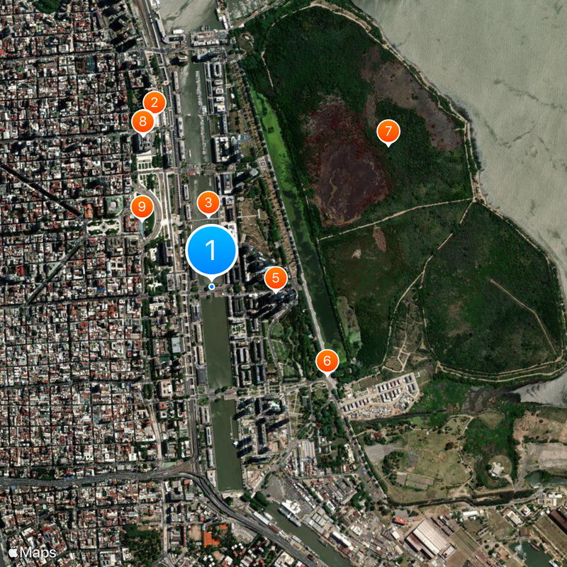
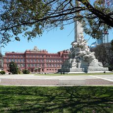
Puerto Madero, Administrative district on the Rio de la Plata waterfront, Buenos Aires, Argentina.

Description

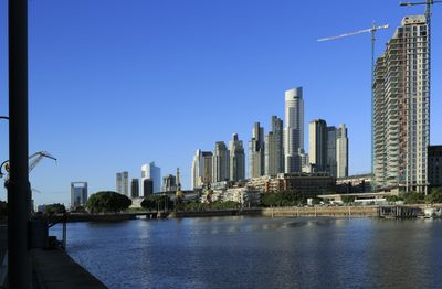
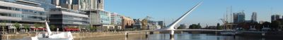
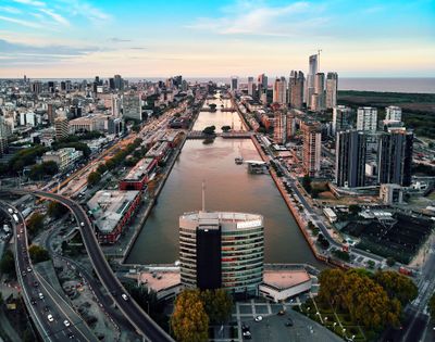
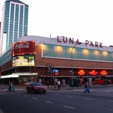
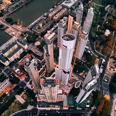
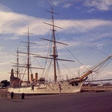
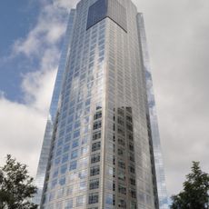
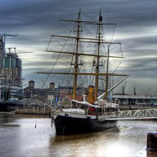
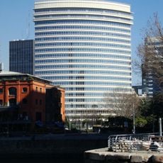
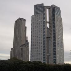
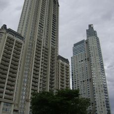
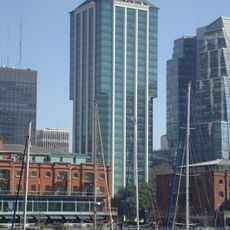
Puerto Madero is an administrative district along the Río de la Plata waterfront in Buenos Aires, Argentina, built on former port docks and renovated industrial land. Red brick warehouses stand alongside glass high-rises, and wide pedestrian paths run along four parallel docks connected by footbridges.

History

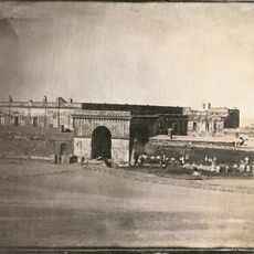
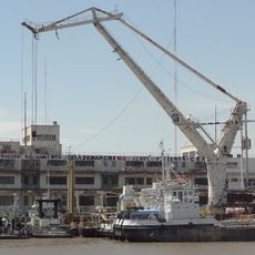
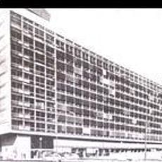
The port facilities were built between 1887 and 1897 but quickly lost their purpose when larger ships needed deeper waters and a new port opened further north. For decades the area sat unused until the 1990s, when a redevelopment project transformed the abandoned warehouses into residential and commercial spaces.

Culture

This dockside area honors women from Argentina's past by naming every street after them, breaking with the tradition found elsewhere in the capital. Visitors walking the promenades pass residents exercising and families strolling, while restaurants along the water draw both business diners and tourists.

Practical

The area is easiest to explore on foot, as the paths are flat and well paved and stretch over several kilometers. Some of the renovated warehouses house restaurants and cafés that are busiest during evenings and weekends.

Did you know?

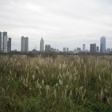
The Costanera Sur Ecological Reserve sits right beside the neighborhood and offers around 350 hectares of wetlands and grasslands in the middle of the city. This natural area grew unintentionally on landfill created from construction debris in the 1970s for expansion plans that were never realized.

Location
Inception
1996
GPS coordinates
-34.61194,-58.36472
Latest update
December 13, 2025 16:13

AroundUs brings together thousands of curated places, local tips, and hidden gems, enriched daily by 60,000 contributors worldwide. Discover all places nearby (Buenos Aires).

« Puerto Madero - Administrative district on the Rio de la Plata waterfront, Buenos Aires, Argentina » is provided by Around Us (aroundus.com). Images and texts are derived from Wikimedia project under a Creative Commons license. You are allowed to copy, distribute, and modify copies of this page, under the conditions set by the license, as long as this note is clearly visible.

Discover hidden gems everywhere you go!

From secret cafés to breathtaking viewpoints, skip the crowded tourist spots and find places that match your style. Our app makes it easy with voice search, smart filtering, route optimization, and insider tips from travelers worldwide. Download now for the complete mobile experience.

Around Us App Screenshot

A unique approach to discovering new places

Le Figaro

All the places worth exploring

France Info

A tailor-made excursion in just a few clicks

20 Minutes

Around Us
Travel Guide & Maps
Download

Send to your phone

QR Code
1

Open the camera app on your mobile.

2

Point at the QR code with your camera. A notification will appear.

3

Tap the notification to open the link.