Minas, city in Uruguay
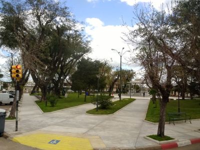
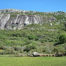
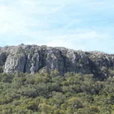
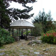
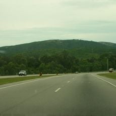
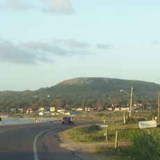
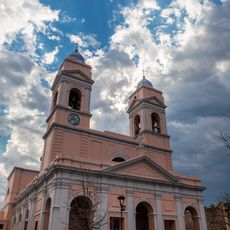
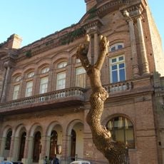
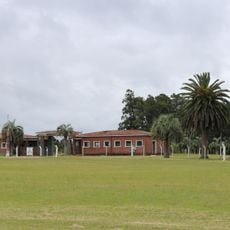
Minas is a city in the Lavalleja Department of southeastern Uruguay, set among gently rolling hills. Its center is organized around a grid of streets with a main square, local shops, and low-rise buildings, while the outer areas open gradually into farmland and countryside.
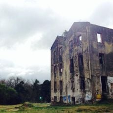
Minas was founded in the 19th century as a settlement in the hill country of what would become Lavalleja Department. Over time it grew into the departmental capital, drawing in trade and people from the surrounding rural areas.
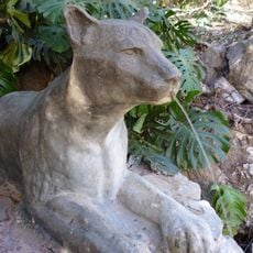
Minas is closely associated with Salinas mineral water, which is bottled near the city and sold across Uruguay, making the spring a point of local pride. Visitors often notice references to this water throughout the city, from shop displays to local conversation.
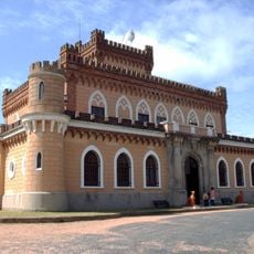
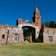
The city center is easy to cover on foot, with most services and points of interest concentrated around the main square. Good road connections make it a convenient base for exploring the wider Lavalleja Department.
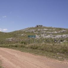
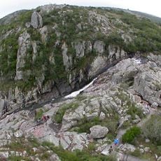
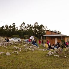
On a hill just outside Minas stands a large statue of the Virgen del Verdun, which draws pilgrims from across Uruguay every year during a traditional walk to the site. The procession is one of the most attended religious events in the country and takes place each September.
The community of curious travelers
AroundUs brings together thousands of curated places, local tips, and hidden gems, enriched daily by 60,000 contributors worldwide.