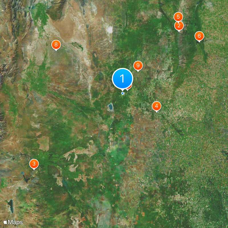
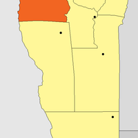
San Luis Province, Province in central Argentina.
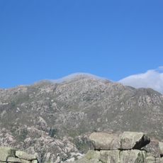
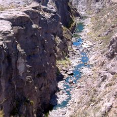
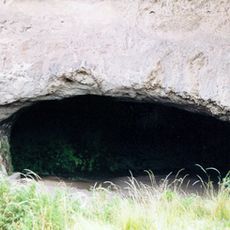
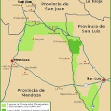
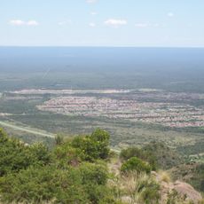
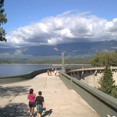
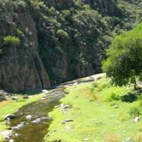
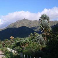
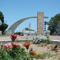
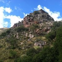
San Luis Province is a territory in central west Argentina with mountains, valleys, plains and salt flats across more than 76,000 square kilometers. The land shifts between dry highlands and green river valleys, with small towns scattered along routes.
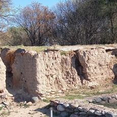
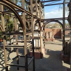
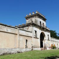
Spanish settlers founded a first settlement in 1594, but permanent occupation began only in the mid-18th century after long conflicts with indigenous inhabitants. The territory became an independent province in 1832 and later developed through farming and mining.
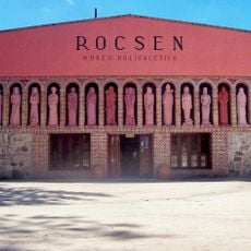
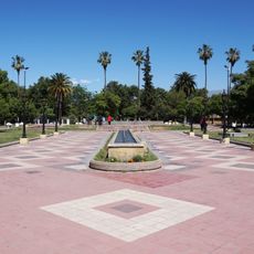
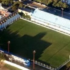
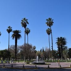
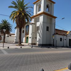
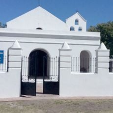
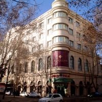
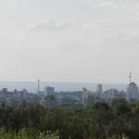
The capital preserves its colonial grid around Plaza Pringles, where residents gather and visitors observe buildings from past centuries. Many towns carry names of indigenous groups or refer to the mining era when gold and copper shaped daily life.
Route 7 crosses the entire territory from east to west and links main towns with well-maintained roads. An airport in the capital offers connections to Buenos Aires and makes arrival easier from other parts of the country.
The Rodríguez Saá family has controlled the province politically since 1983 and built an extensive highway network during this time. Industrial parks emerged under this leadership and brought numerous factories to a previously farming-focused region.
Location: Argentina
Inception: 1820
Capital city: San Luis
Elevation above the sea: 592 m
Reference: SL
Shares border with: La Rioja Province, Córdoba Province, La Pampa, Mendoza Province, San Juan Province
Website: https://sanluis.gov.ar
GPS coordinates: -33.30000,-66.35000
Latest update: December 14, 2025 22:43
Photo license: CC0
Cinema of Argentina
231.3 km
Mount Champaquí
197.3 km
Atuel Canyon
271 km
Estadio Único de Villa Mercedes
90.2 km
Rocsen Multifaceted Museum
212.1 km
Unidad Turística Embalse
217.3 km
Potrero de los Funes Circuit
13.2 km
Reserva provincial Telteca
186.5 km
Inti Huasi
63.1 km
Lagunas de Guanacache, Desaguadero y del Bebedero
113.5 km
Estadio Juan Gilberto Funes
12.4 km
Museo del Área Fundacional
235.8 km
Estadio Ciudad de Río Cuarto
187.6 km
Historical Museum Vaults
198.4 kmAutódromo Parque Ciudad de Río Cuarto
184.9 km
Plaza Pedro del Castillo
235.9 km
Cerro Azul Formation
307.1 kmAutódromo Jorge Ángel Pena
201.8 km
Parroquia Nuestra Señora de la Carrodilla
236.3 km
Estadio Omar Higinio Sperdutti
230.4 km
Capilla de Tegua
206.5 km
Mirador del Potrero
15.2 km
Fuerte San Rafael del Diamante
248.7 km
La Viña Dam
201.3 km
Ruinas de San Francisco
236 kmLas Paredes
237.1 km
Museum of the Bells
215.5 kmReserva Islas de San Felipe
97.4 kmVisited this place? Tap the stars to rate it and share your experience / photos with the community! Try now! You can cancel it anytime.
Discover hidden gems everywhere you go!
From secret cafés to breathtaking viewpoints, skip the crowded tourist spots and find places that match your style. Our app makes it easy with voice search, smart filtering, route optimization, and insider tips from travelers worldwide. Download now for the complete mobile experience.
A unique approach to discovering new places❞
— Le Figaro
All the places worth exploring❞
— France Info
A tailor-made excursion in just a few clicks❞
— 20 Minutes