Río Negro, Major river system in central Uruguay.
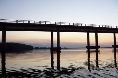
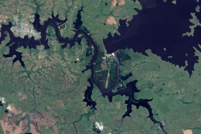
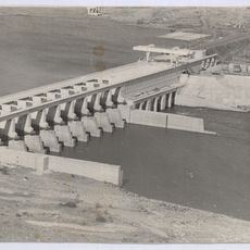
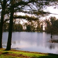
The Río Negro flows about 800 kilometers from Brazil through central Uruguay before meeting the Uruguay River near Mercedes. Three large reservoirs now interrupt its course, creating lakes that have transformed the river into a series of connected water bodies.
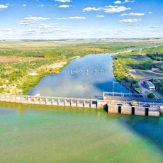
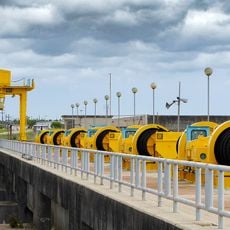
Three major dams built between 1930 and 1980 transformed the river into Uruguay's leading source of electricity. This development marked a shift from rural water management to industrial hydropower.
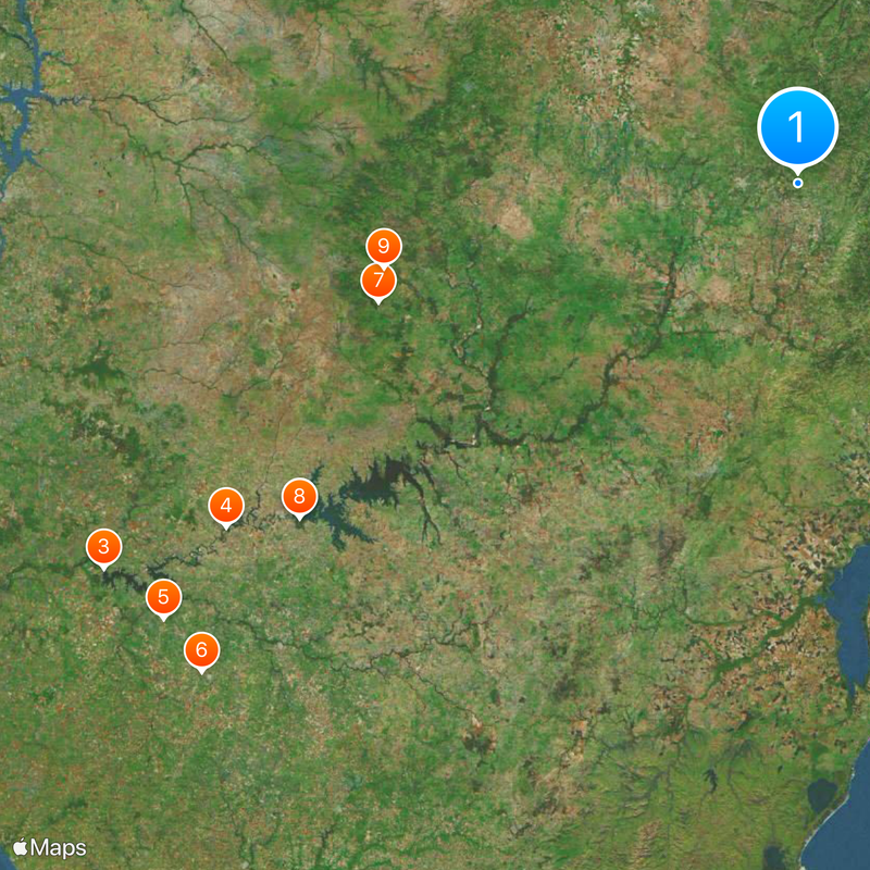
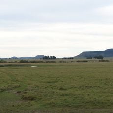
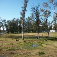
The river divides northern and southern Uruguay, shaping how communities develop and farm on each side. This natural boundary has influenced regional identity and local ways of working the land.
Access to the river varies along its course, with reservoirs offering calmer water for boating while natural sections can have stronger currents. Water levels change seasonally, so planning visits around rainfall patterns helps for the best experience.
During periods of high water from upstream, the current at its mouth can reverse direction and flow backward due to pressure from the Uruguay River. This unusual phenomenon creates unexpected navigation patterns that locals understand well.
The community of curious travelers
AroundUs brings together thousands of curated places, local tips, and hidden gems, enriched daily by 60,000 contributors worldwide.