Casabindo, Historic village in Jujuy Province, Argentina
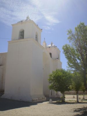
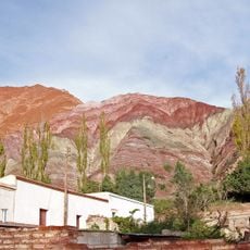
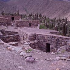
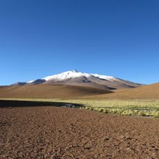
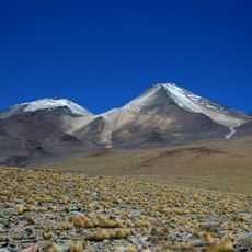
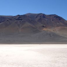
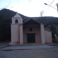
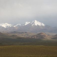
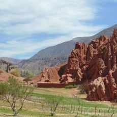
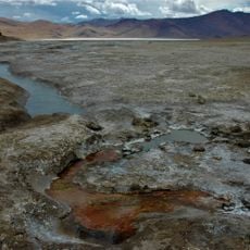
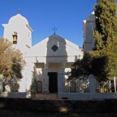
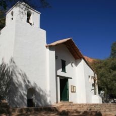
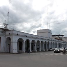
Casabindo is a highland village in Jujuy Province in northern Argentina situated around 2,800 meters above sea level with traditional stone buildings and a stark mountain landscape. The settlement clusters around a whitewashed church that serves as the focal point amid simple dwellings and arid terrain.
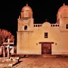
The settlement was designated as a Place of National Historic Site in 1975, acknowledging its significance in regional heritage and long occupation. This recognition reflects the village's importance as a historical witness to Andean settlement patterns and traditions.
The community keeps strong ties to indigenous traditions visible in local celebrations featuring music, dance, and handmade crafts that reflect daily life. These expressions are woven throughout the village gatherings and streets.
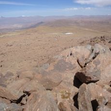
Visitors should prepare for high-altitude conditions with cold nights and intense sun exposure in a mountain setting. Accommodation and services are limited, so plan extra time to adjust to the elevation and bring necessary supplies.
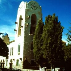
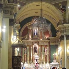
The Capilla de Casabindo is a colonial chapel with modest details that has stood at the village center for centuries. This structure has been tended by local residents across generations and remains a gathering place for ceremonies and daily community life.
Location: Jujuy Province
GPS coordinates: -22.98333,-66.03333
Latest update: December 6, 2025 17:40
Northwest Argentina is a region where deserts, wine regions and Andean valleys coexist. Salt flats, striking rock formations, pre-Columbian sites and traditional mountain villages define this landscape. The terrain shifts between bare highlands, colorful mountain ranges and green valleys where small...
Quebrada de Humahuaca
74.1 km
Pucará de Tilcara
93.3 km
Calilegua National Park
142.3 kmBaritú National Park
152.1 km
Polvorilla viaduct
141.2 km
Monument to the Heroes of Independence
74.1 km
Reserva de biosfera de Yungas
105.9 km
Cerro Zapaleri
119.2 km
Uturuncu
143 km
Cerro Tuzgle
127.8 km
Horacio Guzmán International Bridge
108.5 km
Large Latin American Millimeter Array
141.9 km
Q&U Bolometric Interferometer for Cosmology
141.9 km
Cabildo de Humahuaca
74.3 km
Cerro Panizos
98 km
Salar Aguas Calientes I
142.5 km
Capilla de la Inmaculada Concepción
85.6 km
Cerro Lípes
147.8 km
Nevados de Poquis
103.3 km
Luru Mayu
123.2 km
Paseo de los Colorados
101.1 km
Cerro Galán
51.3 km
Humahuaca Cathedral
74.3 km
Capilla de Purmamarca
101 km
Capilla de Tilcara
93.1 km
Iglesia y Convento San Francisco
153.2 km
Cabildo de la ciudad de San Salvador de Jujuy
153.3 km
Garganta Del Diablo
95.7 kmVisited this place? Tap the stars to rate it and share your experience / photos with the community! Try now! You can cancel it anytime.
Discover hidden gems everywhere you go!
From secret cafés to breathtaking viewpoints, skip the crowded tourist spots and find places that match your style. Our app makes it easy with voice search, smart filtering, route optimization, and insider tips from travelers worldwide. Download now for the complete mobile experience.
A unique approach to discovering new places❞
— Le Figaro
All the places worth exploring❞
— France Info
A tailor-made excursion in just a few clicks❞
— 20 Minutes