
Enrique Baldivieso Province, province of Bolivia
Location: Potosí Department
GPS coordinates: -21.46667,-67.46667
Latest update: March 16, 2025 13:07

Silala
82 km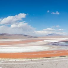
Laguna Colorada
87.7 km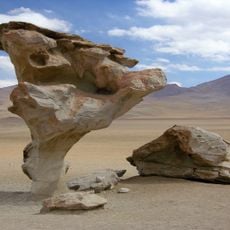
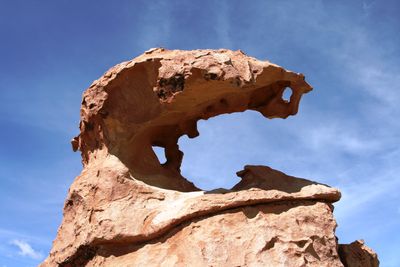
Árbol de Piedra
78.1 km
Aucanquilcha
107.4 km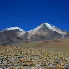
Uturuncu
93.4 km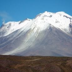
Ollagüe
76.1 km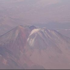
San Pedro
106.5 km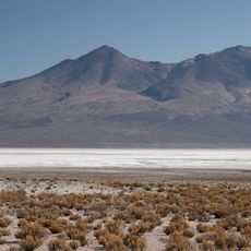
Salar de Chiguana
73.2 km
Cerro del Azufre
87.4 km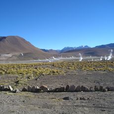
Linzor
91.9 km
Volcán Paniri
102.7 km
Alto Loa National Reserve
109 km
Palpana
109.8 km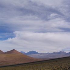
Cerro del León
100.1 km
San Pablo
101.8 km
Cerro Lípes
78.1 km
Tomasamil
55.6 km
Cerro Araral
75.5 km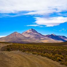
Cerro Cañapa
67.1 km
Laqaya
76.7 km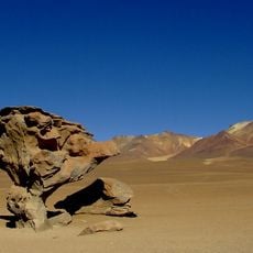
Qhawana
85.4 km
Qaral
79.2 km
Luxsar
80.1 km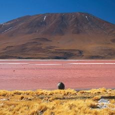
Jorcada
69.4 km
Cerro Toconce
103 km
Wanaku
66.9 km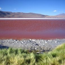
Sanawrya
73.5 km
Chullunkhäni
41.6 kmReviews
Visited this place? Tap the stars to rate it and share your experience / photos with the community! Try now! You can cancel it anytime.
Discover hidden gems everywhere you go!
From secret cafés to breathtaking viewpoints, skip the crowded tourist spots and find places that match your style. Our app makes it easy with voice search, smart filtering, route optimization, and insider tips from travelers worldwide. Download now for the complete mobile experience.

A unique approach to discovering new places❞
— Le Figaro
All the places worth exploring❞
— France Info
A tailor-made excursion in just a few clicks❞
— 20 Minutes