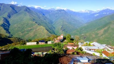
Coroico Municipality, Administrative municipality in Nor Yungas Province, Bolivia.
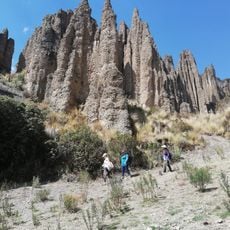
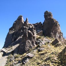
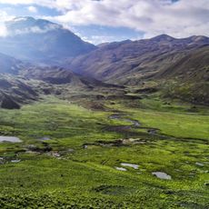
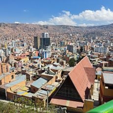
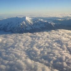
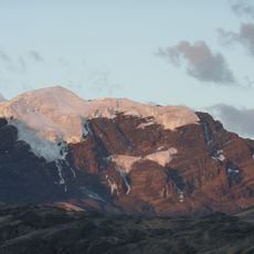
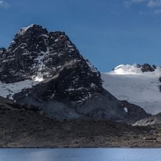
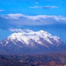
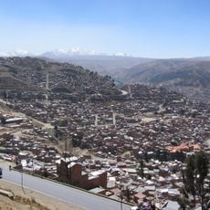
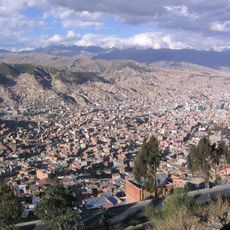
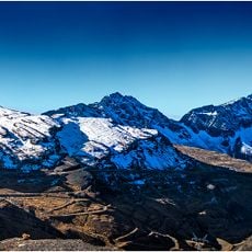
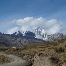
Coroico Municipality is an administrative area in Nor Yungas Province situated at 2,054 meters elevation across mountainous terrain. The municipality encompasses several peaks and connects scattered settlements through roads and pathways.
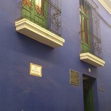
Spanish settlers originally established the settlement near the Quri Wayq'u river in the early colonial period. The community relocated in the early 18th century due to tensions with local populations.
Local communities practice traditional coca cultivation in designated areas as part of their daily life and connection to the land. These methods reflect generations of knowledge passed down through families.
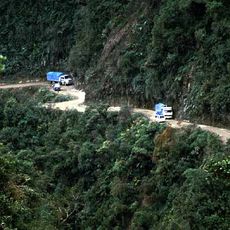
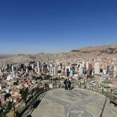
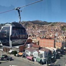
A modern highway completed in 2006 connects the municipality to La Paz, replacing the older Yungas Road network. Conditions and access to different areas vary depending on the season and weather.
A Catholic University campus operates within the municipality, offering specialized programs in agronomy and veterinary medicine for students. This institution blends academic training with the practical needs of the mountain communities.
Location: Nor Yungas Province
Elevation above the sea: 2,054 m
Address: Coroico, Bolivia
GPS coordinates: -16.16667,-67.83333
Latest update: December 6, 2025 17:46
Bolivia sits in the central Andes, linking mountain ranges, high plateau lands, and lowland rainforests in a landlocked country. The changes in altitude create different climate zones and landscapes, from snow-covered peaks to tropical vegetation. Many visitors start in La Paz, a city that clings to...
Yungas Road
29.1 kmIllimani
54.6 km
Chacaltaya
37.4 km
Huayna Potosí
35.9 km
Patrimonio natural paisajístico Las Ánimas
43.7 km
Muela del Diablo
50.1 km
Cotapata National Park and Integrated Management Natural Area
9 km
Mirador Killi Killi
48.2 km
Mirador Killi Killi
48.2 km
Museo Costumbrista Juan de Vargas
48.5 km
Iglesia San Miguel
49 km
Mururata
39.2 km
Jardín Botánico
48.2 km
Cabeza de Cóndor
43.9 km
Museo Litoral Boliviano
48.5 km
La Senda Verde
11.7 km
Layqa Qullu
54.6 km
Serkhe Khollu
27.6 km
Jist'aña
41 km
Jathi Qullu
31.7 km
P'iq'iñ Q'ara (La Paz)
49.6 km
Ch'iyar Qirini
35.9 km
Mik'aya
24.6 km
Ch'uñawi
22.5 km
Q'asiri
32.9 km
Teleférico Línea Blanca: Villarroel ↔San Jorge
48 km
Tuni Condoriri National Park
39 km
Saint Peter and Saint Paul Cathedral in Coroico
11.6 kmVisited this place? Tap the stars to rate it and share your experience / photos with the community! Try now! You can cancel it anytime.
Discover hidden gems everywhere you go!
From secret cafés to breathtaking viewpoints, skip the crowded tourist spots and find places that match your style. Our app makes it easy with voice search, smart filtering, route optimization, and insider tips from travelers worldwide. Download now for the complete mobile experience.
A unique approach to discovering new places❞
— Le Figaro
All the places worth exploring❞
— France Info
A tailor-made excursion in just a few clicks❞
— 20 Minutes