
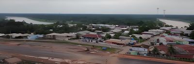
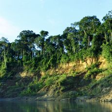
Pauini, municipality of Brazil
Location: Amazonas
Elevation above the sea: 179 m
Shares border with: Boca do Acre, Feijó, Manoel Urbano, Envira, Itamarati, Lábrea
GPS coordinates: -7.71389,-66.97583
Latest update: March 11, 2025 17:34
Manu National Park
711.6 km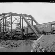
Madeira-Mamoré Railroad
357.7 km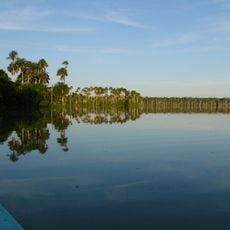
Tambopata National Reserve
632.2 km
Fort Prince of Beira
594.6 km
Javari Valley
687.5 km
Amacayacu National Park
591 km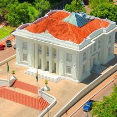
Palácio Rio Branco
267.9 km
Serra do Divisor National Park
720.4 km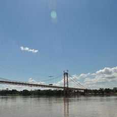
President Guillermo Billinghurst Bridge
593.8 km
Pacaás Novos National Park
546.6 km
Manuripi-Heath Amazonian Wildlife National Reserve
483.4 km
Santa Rosa Island
509.4 km
Amarakaeri Communal Reserve
718.3 km
Mamirauá Sustainable Development Reserve
623.9 km
Tamshiyacu Tahuayo Regional Conservation Area
790.7 km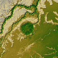
Iturralde Crater
547.8 km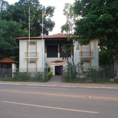
Museu da Borracha Governador Geraldo Mesquita
267.5 km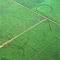
Acre geoglyphs
418.3 km
Purús Communal Reserve
527.6 km
Chico Mendes' house
264.1 km
Estádio José de Melo
267.3 km
Mapinguari National Park
297.6 km
Central Amazon Ecological Corridor
499.1 km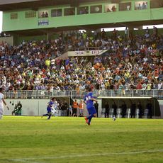
Estádio Antônio Aquino Lopes
272 km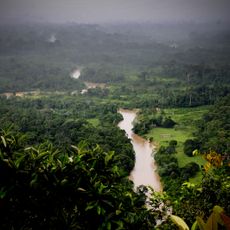
Chandless State Park
452.3 km
Médio Juruá Extractive Reserve
252.7 km
Ituxi Extractive Reserve
197.6 km
Tefé National Forest
517.7 kmReviews
Visited this place? Tap the stars to rate it and share your experience / photos with the community! Try now! You can cancel it anytime.
Discover hidden gems everywhere you go!
From secret cafés to breathtaking viewpoints, skip the crowded tourist spots and find places that match your style. Our app makes it easy with voice search, smart filtering, route optimization, and insider tips from travelers worldwide. Download now for the complete mobile experience.

A unique approach to discovering new places❞
— Le Figaro
All the places worth exploring❞
— France Info
A tailor-made excursion in just a few clicks❞
— 20 Minutes