Central-West Region

Log in to your account

AroundUs is a community-driven map of interesting places, built by curious explorers like you. It grows with every review, story, and photo you share.
Connect to save your favorite spots, contribute locations, and create personalized routes.
Continue with Google
Continue with Apple
Continue with X
Continue with Facebook
Continue with email
By continuing, you accept our Terms and Conditions and our Privacy Policy
Create an account
Add to collection
Map
Suggest a change
Share

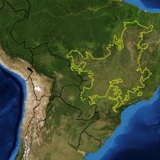
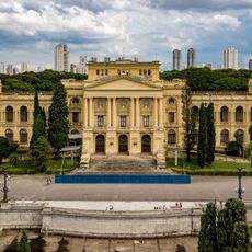
Central-West Region, Administrative region in Brazil

The Central-West Region spreads across four Brazilian states and takes in grasslands, wetlands, patches of rainforest and the national capital, Brasília. Wide plains give way to forested uplands, while rivers cut through the interior and link different types of terrain.

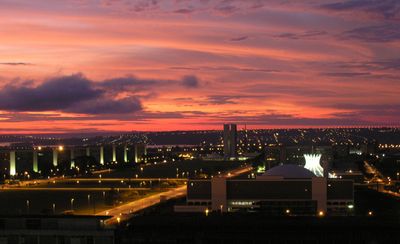
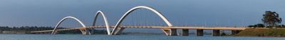
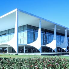
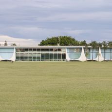
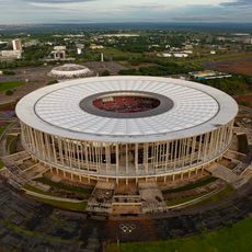
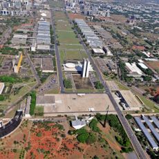
Before Brasília opened in 1960, the interior remained distant territory with few paved roads and scattered settlements. Building the new capital brought highways, power lines and fresh towns that sped up growth across the central hinterland.

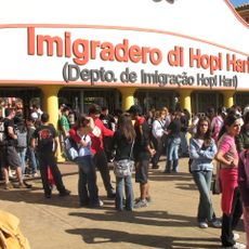
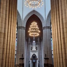
Visitors see how local communities blend customs brought by indigenous groups, European settlers and African families into everyday life through festivals, live music and regional cooking. Markets and neighborhood gatherings offer tastes of dishes such as paçoca de pilão and empadão goiano, reflecting daily habits across the territory.

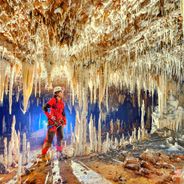
Travelers choose between flat farming areas, low wetlands and wooded sections, with each zone favoring different seasons for visiting. Roads connect the main cities, while remote natural areas often need four-wheel-drive vehicles or boat trips.

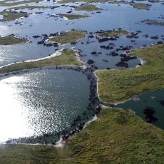
The Pantanal hosts many animal species that gather around waterholes during the dry months, offering watchers chances to spot wildlife that elsewhere remain hidden. Researchers use the area for field studies on biodiversity, because open plains allow direct access to habitats.

Location: Brazil

Shares border with: South Region, Southeast Region, North Region, Northeast Region

GPS coordinates: -14.78333,-53.51667

Latest update: December 15, 2025 06:41

Photos
Natural areas of central west Brazil: waterfalls, caves, national parks

The central west region of Brazil encompasses states including Goiás, Mato Grosso and Mato Grosso do Sul. These areas contain national parks with hiking trails, waterfalls and cave systems. Chapada dos Veadeiros National Park near Alto Paraíso de Goiás displays cerrado vegetation and rock...

Reviews

Visited this place? Tap the stars to rate it and share your experience / photos with the community! Try now! You can cancel it anytime.

« Central-West Region - Administrative region in Brazil » is provided by Around Us (aroundus.com). Images and texts are derived from Wikimedia project under a Creative Commons license. You are allowed to copy, distribute, and modify copies of this page, under the conditions set by the license, as long as this note is clearly visible.

Discover hidden gems everywhere you go!

From secret cafés to breathtaking viewpoints, skip the crowded tourist spots and find places that match your style. Our app makes it easy with voice search, smart filtering, route optimization, and insider tips from travelers worldwide. Download now for the complete mobile experience.

Around Us App Screenshot

A unique approach to discovering new places

Le Figaro

All the places worth exploring

France Info

A tailor-made excursion in just a few clicks

20 Minutes