Cachoeira, Colonial municipality in Bahia, Brazil
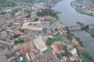
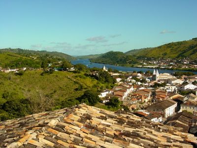
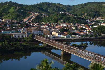
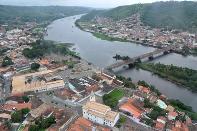
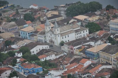
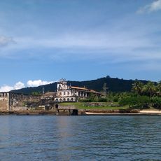
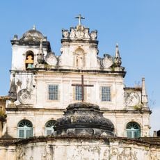
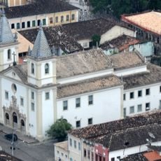
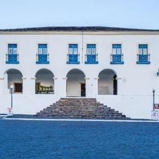
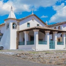
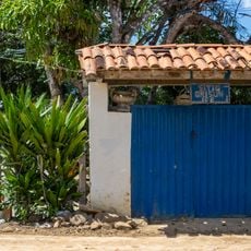
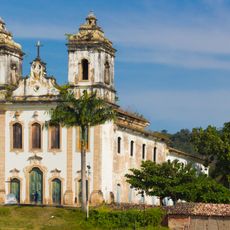
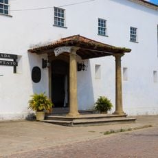
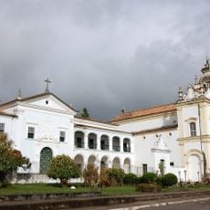
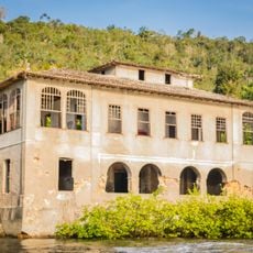
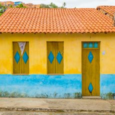
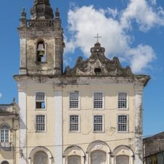
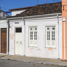
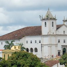
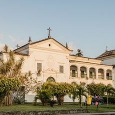
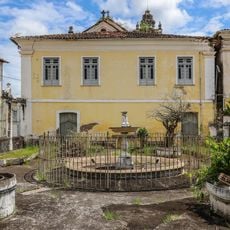
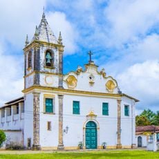
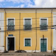
Cachoeira is a municipality along the Paraguaçu River in the Brazilian state of Bahia. The settlement spreads across a hilly area with cobbled streets running between churches, manor houses and low residential buildings topped with tile roofs.
European settlers founded an outpost on the riverbank in the early 16th century and transformed the area into a center for sugarcane and tobacco. The municipality played a central role in regional conflicts and independence movements during the 19th century.
The local shrines and worship houses belong to the oldest centers of Afro-Brazilian faith in the country and draw believers from many parts of Brazil. Festivals and processions mark the calendar throughout the year, with participants dressed in traditional garb moving through narrow streets while drums and chants fill the air.
Many points of interest lie within walking distance in the historic core, where steep hills and uneven paving make comfortable shoes necessary. The midday heat is best avoided by exploring in morning hours or late afternoon when cooler breezes come in from the river.
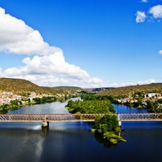
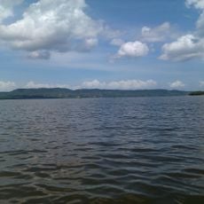
An old stone bridge from the late 19th century spans the river and connects both banks with several tall arches that allow boat traffic to pass underneath. The structure carries the name of an emperor and serves both pedestrians and vehicles to this day.
Location: Bahia
Elevation above the sea: 32 m
Shares border with: Conceição da Feira, Governador Mangabeira, Maragogipe, Muritiba, Santo Amaro, São Félix, São Gonçalo dos Campos, Saubara
Website: http://cachoeira.ba.gov.br
GPS coordinates: -12.61778,-38.95583
Latest update: December 13, 2025 19:02
Ponte Dom Pedro II
2.1 km
Terreiro Zogbodo Male Bogum Seja Unde
2.5 km
São Francisco do Paraguaçu
16.9 km
Convent and Church of Saint Antony
16.6 km
Festa da Boa Morte
1.8 km
Parish Church of Our Lady of the Rosary
1.7 km
Town Hall and Prison of Cachoeira
1.6 km
Chapel of Our Lady of Help
1.8 km
Asepò Erán Opé Olùwa
2.4 km
Architectural and Landscape Set of Cachoeira
1.6 km
Casa Natal de Ana Nery
1.6 km
Fort of the Holy Cross (São Roque do Paraguaçu)
22.6 km
Parish Church of Santiago, Iguape
12.8 km
Convento do Carmo (Cachoeira)
1.4 km
Church and Convent of Our Lady of Mount Carmel
1.4 km
Engenho Vitória
5.2 km
Terreiro Loba Nekun Filho
2.3 km
Hospital São João de Deus
1.9 km
Casa à Praça Dr. Aristides Milton, 23-A
1.9 km
Igreja Matriz de São Bartolomeu
18.3 km
House of Prayer of the Carmelite Third Order
1.5 km
Jardim do Hospital São João de Deus
2 km
Baía do Iguape Marine Extractive Reserve
17.1 km
Igreja do Seminário de Belém
7.2 km
Terreiro Ilê Axé Alabaxé
17.6 km
Terreiro Rumpame Ayono Runtólogi
864 m
Terreiro Ilê Axé Ogunjá
3.7 km
Sobrado à Rua Ana Nery, 2
1.6 kmVisited this place? Tap the stars to rate it and share your experience / photos with the community! Try now! You can cancel it anytime.
Discover hidden gems everywhere you go!
From secret cafés to breathtaking viewpoints, skip the crowded tourist spots and find places that match your style. Our app makes it easy with voice search, smart filtering, route optimization, and insider tips from travelers worldwide. Download now for the complete mobile experience.
A unique approach to discovering new places❞
— Le Figaro
All the places worth exploring❞
— France Info
A tailor-made excursion in just a few clicks❞
— 20 Minutes