Rio Tinto, Municipality in Paraíba, Brazil
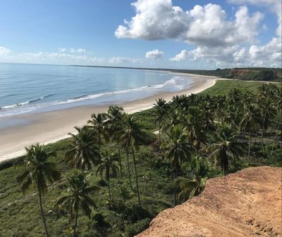
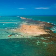
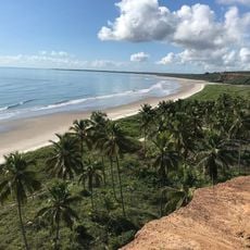
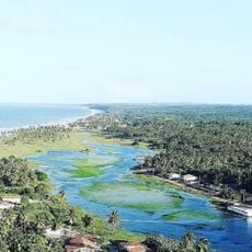
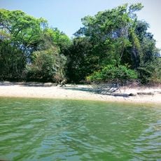
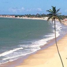
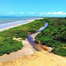
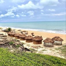
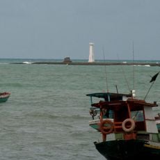
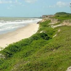
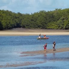
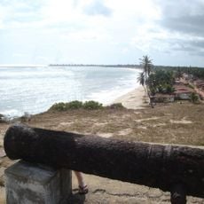
Rio Tinto is a municipality in northeastern Brazil covering approximately 466 square kilometers. The area combines sandy beaches, mangrove wetlands, and residential zones in a compact setting.
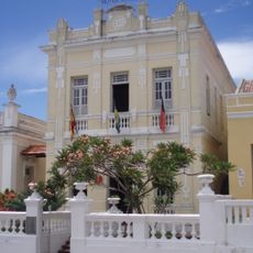
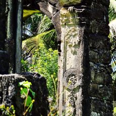
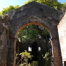
The municipality developed in the early 1900s when descendants of a Swedish-Brazilian entrepreneur brought German families to work in a textile company. This European foundation shaped the settlement's early growth.
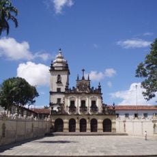
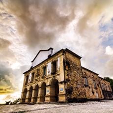
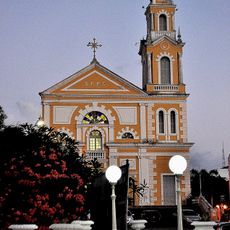
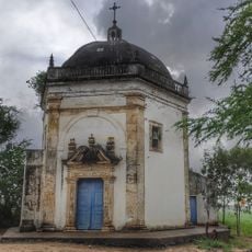
The Santa Rita de Cássia Church is a central gathering place that reflects the town's past, while houses with European design remain visible throughout the streets. These buildings show how different communities have lived side by side over time.
Visit during the dry season when roads are easier to travel and coastal areas remain more accessible. Explore the waterfront sections during daylight hours, particularly in the morning.
Three recognized indigenous territories exist within the area, home to a mixed-heritage population that forms part of the local community. This presence shows the region's settlement diversity beyond its European founding story.
Location: Paraíba
Elevation above the sea: 6 m
Shares border with: Lucena, Mamanguape, Baía da Traição, Capim, Marcação, Mataraca, Santa Rita
Website: http://riotinto.pb.gov.br
GPS coordinates: -6.80278,-35.08083
Latest update: December 7, 2025 20:40
Church of Saint Francis and Convent of Saint Antony and Chapel of the Third Order
41 km
Fortress of Saint Catherine
32.4 km
Jacaré beach
36.3 km
Hotel Globo
40.5 km
Church of Our Lady of Guia
28.1 km
Gunpowder Storehouse
40.9 km
Areia Vermelha Marine State Park
37.2 km
Church of Saint Peter Gonzalez
40.5 km
Campina beach
16.5 km
Pedra Seca Lighthouse
33.3 km
Mata da Estrela Private Natural Heritage Reserve
45.2 km
Restinga de Cabedelo National Forest
35.1 km
Lagoa de Praia
17.7 km
Barra do Rio Mamanguape Environmental Protection Area
10.2 km
Praia do Forte
20 km
Miriri beach
20.6 km
Tambá beach
21.3 km
Phare de Baía da Traição
21.7 km
Trincheiras beach
20.7 km
Ruínas da Igreja de Nossa Senhora de Nazaré - Almagre
37.3 km
Oiteiro beach
19 km
Jerimum beach
22.9 km
Área de Relevante Interesse Ecológica Manguezais da Foz do Rio Mamanguape
10.2 km
Fortim da Baía da Traição
20.3 km
Igreja do Bom Sucesso
22 km
Museu de esculturas Jurandir Maciel
40.4 km
Cinépolis Manaíra
41.9 km
Capela do Engenho Una
33.1 kmVisited this place? Tap the stars to rate it and share your experience / photos with the community! Try now! You can cancel it anytime.
Discover hidden gems everywhere you go!
From secret cafés to breathtaking viewpoints, skip the crowded tourist spots and find places that match your style. Our app makes it easy with voice search, smart filtering, route optimization, and insider tips from travelers worldwide. Download now for the complete mobile experience.
A unique approach to discovering new places❞
— Le Figaro
All the places worth exploring❞
— France Info
A tailor-made excursion in just a few clicks❞
— 20 Minutes