Witwatersrand, Mountain range in Gauteng, South Africa.
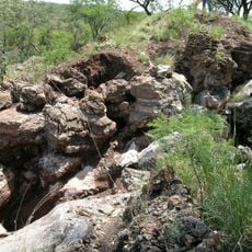
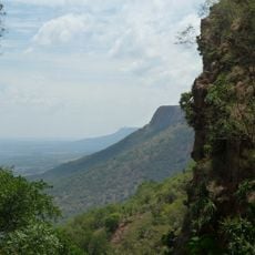
The Witwatersrand extends 56 kilometers through Gauteng province, forming a north-facing escarpment of quartzite and sedimentary rock layers at 1913 meters (6276 feet) elevation. The ridge consists of conglomerate, shale, and deposits from very ancient glacial formations that weathered into hard strata over time.
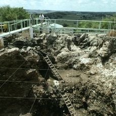
In 1886, the discovery of gold within the conglomerate beds of this range triggered a mining rush that led to the founding of Johannesburg. The extraction over the following decades reshaped the region and drew workers and entrepreneurs from around the world.
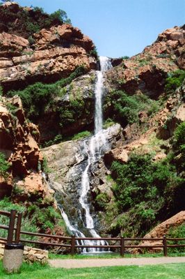
The name comes from Afrikaans and means white water ridge, referring to waterfalls that once flowed over the quartzite slopes during the rainy season. These streams shaped the way early travelers and settlers recognized and navigated the area before mining transformed the landscape.
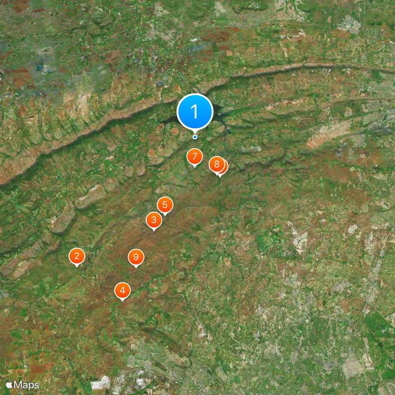
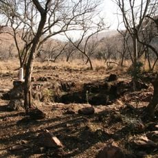
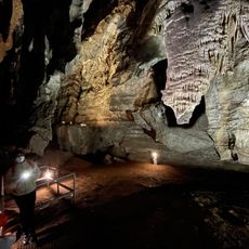
Several hiking trails and lookout points along the ridge offer access to rock formations and views over the surrounding landscape. The climb to higher sections requires sturdy footwear and enough drinking water, especially during warmer months.
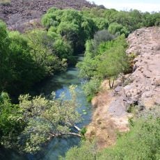
The range forms a continental water divide, sending flows north toward the Indian Ocean and south via the Vaal River toward the Atlantic. This geological boundary still shapes the course of waterways throughout the entire Gauteng region today.
The community of curious travelers
AroundUs brings together thousands of curated places, local tips, and hidden gems, enriched daily by 60,000 contributors worldwide.