
Rukungiri District, districts of Uganda
Location: Western Region
Inception: 1974
Capital city: Rukungiri
Website: http://rukungiri.go.ug
GPS coordinates: -0.73333,29.88333
Latest update: March 4, 2025 01:40
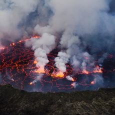
Mount Nyiragongo
112.5 km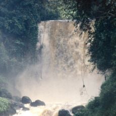
Virunga National Park
50 km
Bwindi Impenetrable National Park
39.8 km
Volcanoes National Park
92.6 km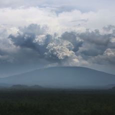
Nyamuragira
107 km
Mount Karisimbi
98.6 km
Rwenzori Mountains National Park
122.7 km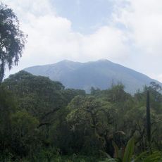
Mount Bisoke
92 km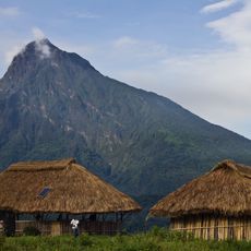
Mount Mikeno
96.4 km
Mount Muhabura
75.8 km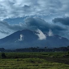
Mount Sabyinyo
79.5 km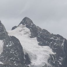
Margherita Peak
124.7 km
Gishwati Forest
127 km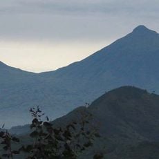
Mount Gahinga
77.4 km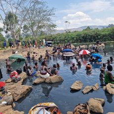
Kitagata Hot Springs
31.3 km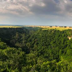
Kyambura Game Reserve
70 km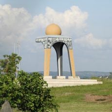
1520 AD Biharwe Eclipse Monument
98.1 km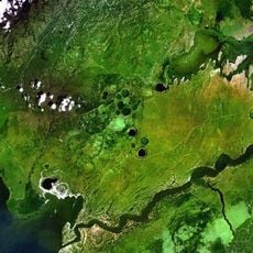
Katwe craters
72.8 km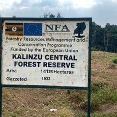
Kalinzu Central Forest Reserve
56.4 km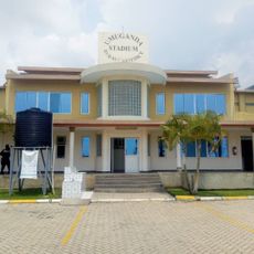
Umuganda Stadium
125.6 km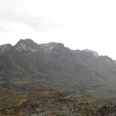
Mount Luigi di Savoia
118.7 km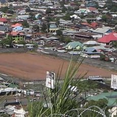
Stade de Virunga
128 km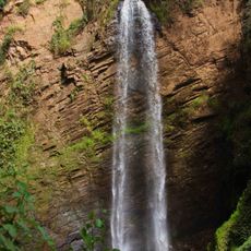
Kisiizi Falls
30.4 km
Mémorial du génocide à Gisenyi
125.2 km
Nyabujera
88.8 km
Mugaba Palace
85.5 km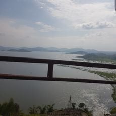
Ntaruka Hydroelectric Power Station
84.1 km
Royal Tombs of Ankole
87 kmVisited this place? Tap the stars to rate it and share your experience / photos with the community! Try now! You can cancel it anytime.
Discover hidden gems everywhere you go!
From secret cafés to breathtaking viewpoints, skip the crowded tourist spots and find places that match your style. Our app makes it easy with voice search, smart filtering, route optimization, and insider tips from travelers worldwide. Download now for the complete mobile experience.

A unique approach to discovering new places❞
— Le Figaro
All the places worth exploring❞
— France Info
A tailor-made excursion in just a few clicks❞
— 20 Minutes