Rwenzori Mountains National Park, National park and World Heritage Site in western Uganda
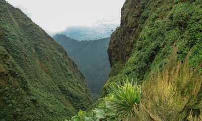
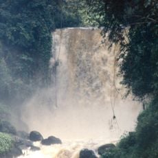
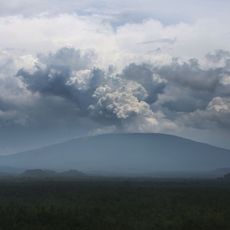
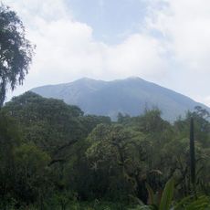
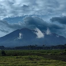
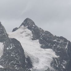
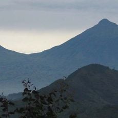
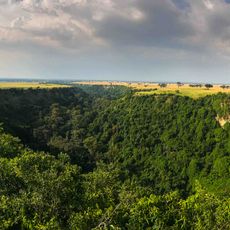
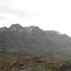
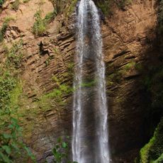
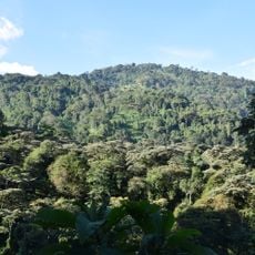
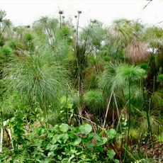
Rwenzori Mountains National Park covers roughly 1000 square kilometers along Uganda's border with Congo and includes Mount Stanley with its highest peak. The area features several snow-capped summits and densely forested mountain slopes that rise from lowlands into alpine zones.
The area became a protected forest in 1941 and received national park status in 1991. UNESCO World Heritage recognition came in 1994, confirming the global importance of this mountain region.
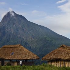
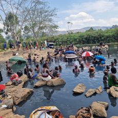
The Baamba and Konjo peoples live on the mountain slopes, using farming methods adapted to steep terrain. Their presence shapes the character of these slopes, showing how communities have long coexisted with this landscape.
Visitors must use a licensed guide to enter the park, and permits for multi-day hikes are available from the Uganda Wildlife Authority office in Kasese. The best time to visit is during drier months when trails are less slippery.
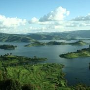
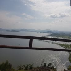
The mountains serve as a water source for two major lakes and supply drinking water to more than 500000 people. This hidden role makes them one of the region's most critical natural resources.
The community of curious travelers
AroundUs brings together thousands of curated places, local tips, and hidden gems, enriched daily by 60,000 contributors worldwide.