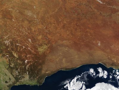
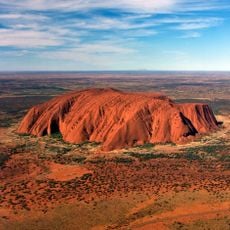
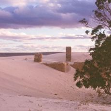
Great Victoria Desert, Sand desert across Western and South Australia.
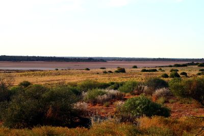
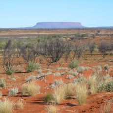
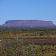
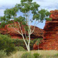
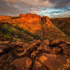
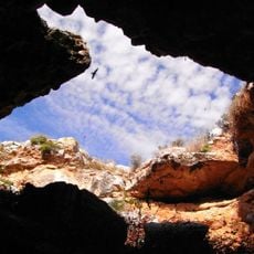
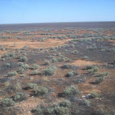
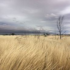
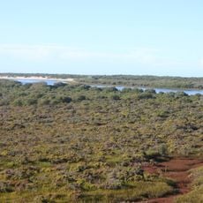
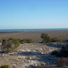
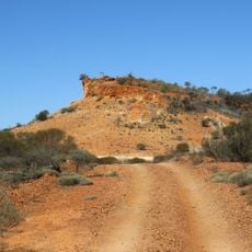
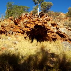
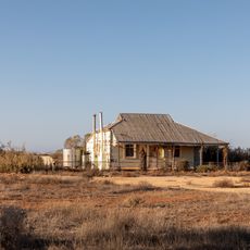
The Great Victoria Desert is a desert in Western Australia and South Australia with red sand dunes, scattered shrubs, and shallow salt lakes. The landscape shifts between open flats and rolling sand ridges that cover much of the southern inland.
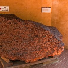
Ernest Giles crossed this area in 1875 and named it after Queen Victoria of England. Later, military nuclear tests took place here and changed the western desert zone for decades.
Several groups have lived in this sandy expanse for thousands of years and know water sources and food plants that travelers without local knowledge would never recognize. Their routes and stories continue to shape how people understand the desert today and appear in place names and landmarks across the dunes.
Temperatures reach around 104 degrees Fahrenheit (40 degrees Celsius) in summer and drop to about 68 degrees Fahrenheit (20 degrees Celsius) in winter, with rain falling rarely and irregularly. Anyone visiting this area should carry large amounts of water, fuel, and spare parts because supply points are widely separated.
Some salt lakes in this desert glow pink when certain algae multiply in the water and reflect sunlight in a particular way. This color only appears under certain conditions and often stays visible for a short time.
Location: Western Australia
Location: South Australia
Elevation above the sea: 353 m
GPS coordinates: -29.15222,129.25972
Latest update: December 4, 2025 23:42
The world's largest desert expanses range from the poles to subtropical areas. From Antarctica with its 14 million square kilometers to the Mojave plains, these regions are characterized by extreme conditions and low rainfall. Polar deserts dominate in area, followed by hot deserts like the Sahara and the Arabian Desert. Each region features specific geological and climatic characteristics, creating distinct landscapes.
Uluru
458.7 km
Outback
468 km
Kata Tjuta
453.2 km
Uluṟu-Kata Tjuṯa National Park
459.3 km
Mount Conner
483.6 km
Kings Canyon
591 km
Mount Woodroffe
399.3 km
Curtin Springs
494.6 km
Mundrabilla
245.3 km
Watarrka National Park
594.3 km
Surveyor Generals Corner
352 km
Angas Downs Indigenous Protected Area
546.8 km
Murrawijinie Cave
291.5 km
Nullarbor National Park
244.7 km
Gibson Desert Nature Reserve
600.8 km
Acraman Creek Conservation Park
586.9 km
Eyre Telegraph Station
444.8 km
Emergency Fire Service
562.4 km
Eucla National Park
282.5 km
Ilkulka Community
192.1 km
Mount Beadell
563.1 km
Toolinna Cove
567 km
Penong Windmill Museum
473.8 km
Uluṟu-Kata Tjuṯa Cultural Centre
456.6 km
Lasseter's Cave
460.2 km
Eucla Telegraph Station
287.4 km
Rawlinna Townsite
431.2 km
Smoky Bay Jetty
573.4 kmReviews
Visited this place? Tap the stars to rate it and share your experience / photos with the community! Try now! You can cancel it anytime.
Discover hidden gems everywhere you go!
From secret cafés to breathtaking viewpoints, skip the crowded tourist spots and find places that match your style. Our app makes it easy with voice search, smart filtering, route optimization, and insider tips from travelers worldwide. Download now for the complete mobile experience.
A unique approach to discovering new places❞
— Le Figaro
All the places worth exploring❞
— France Info
A tailor-made excursion in just a few clicks❞
— 20 Minutes