
Yurrauwe Pans, Strand in Australien
Location: South Australia
Elevation above the sea: 260 m
GPS coordinates: -28.96667,131.50000
Latest update: May 9, 2025 21:01
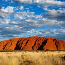
Uluru
405.8 km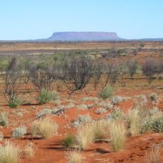
Outback
465.9 km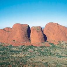
Kata Tjuta
415.4 km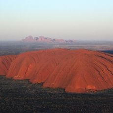
Uluṟu-Kata Tjuṯa National Park
408.9 km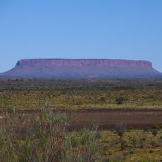
Mount Conner
388.6 km
Australian Overland Telegraph Line
481.9 km
Acraman crater
508.7 km
Mount Woodroffe
295.9 km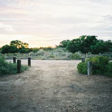
Dalhousie Springs
481.8 km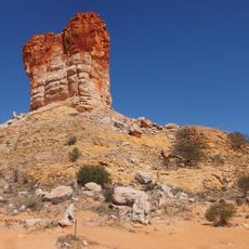
Chambers Pillar
510.5 km
Curtin Springs
408.9 km
Mundrabilla
431.5 km
Surveyor Generals Corner
412.3 km
Angas Downs Indigenous Protected Area
444.4 km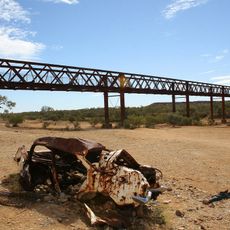
Algebuckina Bridge
438.1 km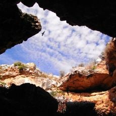
Murrawijinie Cave
273.7 km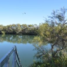
Witjira National Park
499.2 km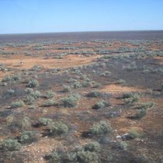
Nullarbor National Park
328.8 km
Acraman Creek Conservation Park
458.1 km
Emergency Fire Service
343.4 km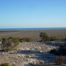
Eucla National Park
387.5 km
Ilkulka Community
396 km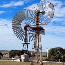
Penong Windmill Museum
359.9 km
Uluṟu-Kata Tjuṯa Cultural Centre
404.3 km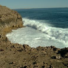
Whistling Hill
486.8 km
Lasseter's Cave
486.4 km
Eucla Telegraph Station
395.7 km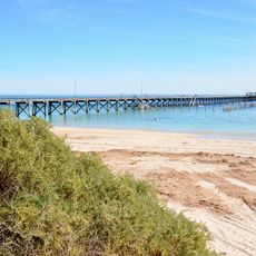
Smoky Bay Jetty
445.6 kmReviews
Visited this place? Tap the stars to rate it and share your experience / photos with the community! Try now! You can cancel it anytime.
Discover hidden gems everywhere you go!
From secret cafés to breathtaking viewpoints, skip the crowded tourist spots and find places that match your style. Our app makes it easy with voice search, smart filtering, route optimization, and insider tips from travelers worldwide. Download now for the complete mobile experience.

A unique approach to discovering new places❞
— Le Figaro
All the places worth exploring❞
— France Info
A tailor-made excursion in just a few clicks❞
— 20 Minutes