South Australian borders, Political border between South Australia and Western Australia.
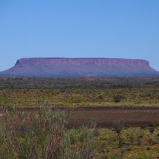
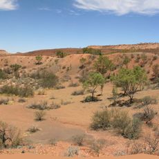
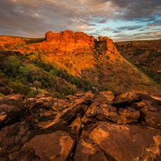
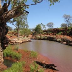
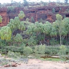
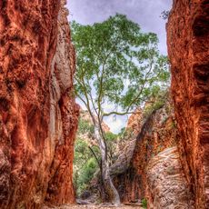
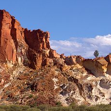
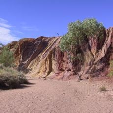
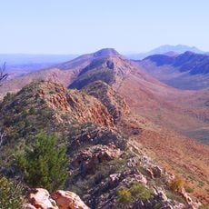
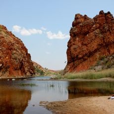
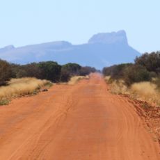
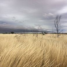
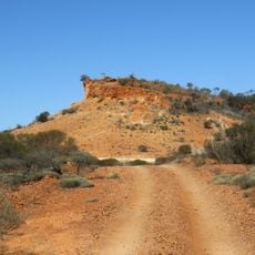
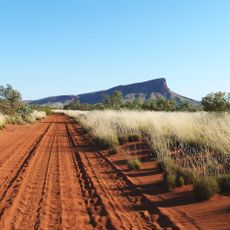
The South Australian borders are the political boundaries that separate South Australia from its neighboring territories, with the western edge running along the 129th meridian east. This line cuts through some of the driest and most remote land on the continent, far from towns or sealed roads.
The western boundary was drawn in 1860 along the 129th meridian east, at a time when the region was still a collection of British colonies. When Australia became a federation in 1901, those colonial lines became state borders and have not changed since.
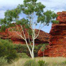
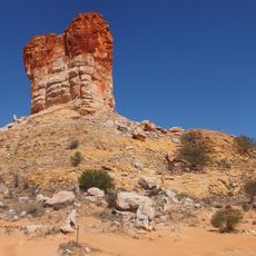
The border zone sits within Country belonging to several Aboriginal groups, whose ties to the land long predate the colonial line drawn here. Travelers passing through may notice place names and road signs in local languages, reflecting a presence that the surveyed boundary never interrupted.
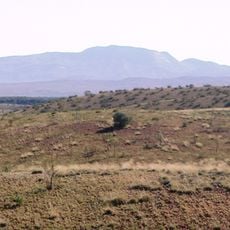
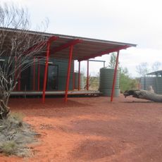
Anyone planning to travel through this region should prepare for days without services, paved roads, or mobile coverage, so carrying extra water, fuel, and supplies is essential. Letting someone know your route and expected arrival time is a basic safety step in an area this remote.
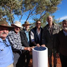
At one precise point in the desert, Western Australia, the Northern Territory, and South Australia all meet at a single spot, a tripoint that most people drive past without knowing it exists. Standing there, you can step between three separate jurisdictions in a single movement.
The community of curious travelers
AroundUs brings together thousands of curated places, local tips, and hidden gems, enriched daily by 60,000 contributors worldwide.