Sampir, village in Serang Regency, Banten, Indonesia
Location: Waringinkurung
Elevation above the sea: 104 m
GPS coordinates: -6.08306,106.04694
Latest update: March 14, 2025 20:59

Great Mosque of Banten
13 km
Sunda Strait Bridge
25.5 km
Jambu Inscription
77.3 km
Kepulauan Seribu Marine National Park
73.3 km
Gunung Karang
21.2 km
Rakata
67.2 km
Pulosari
29.8 km
Muara Angke Wildlife Preserve
78.3 km
Siger Tower
40.9 km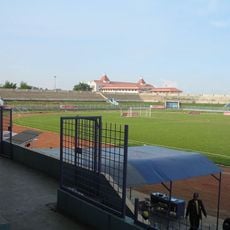
Benteng Stadium
66.3 km
Gunung Rajabasa
57 km
Green Bay Pluit
81.4 km
Benteng Heritage Museum
65.4 km
Kali Pasir Mosque
65.3 km
PIK Fresh Market
76.9 km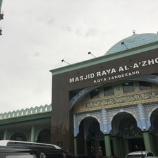
Al-Azhom Grand Mosque
66.2 km
Rawa Danau Nature Reserve
11.1 km
Cikoneng Lighthouse
18 km
Kasunyatan Mosque
12.7 km
Masjid Carita
34.5 km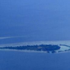
Payung Besar Island
63.3 km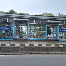
Kedoya Panjang
80.2 km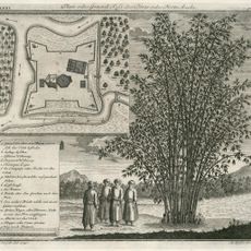
Fort Angké
81 km
Gerendong Bridge
79.1 km
Masjid Caringin
39 km
Pulau Anak Krakatau natural reserve
68.4 km
Tiger Island
77.5 km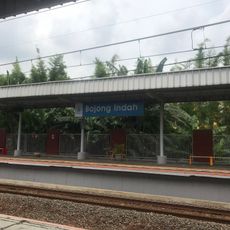
Bojong Indah
76.7 kmReviews
Visited this place? Tap the stars to rate it and share your experience / photos with the community! Try now! You can cancel it anytime.
Discover hidden gems everywhere you go!
From secret cafés to breathtaking viewpoints, skip the crowded tourist spots and find places that match your style. Our app makes it easy with voice search, smart filtering, route optimization, and insider tips from travelers worldwide. Download now for the complete mobile experience.

A unique approach to discovering new places❞
— Le Figaro
All the places worth exploring❞
— France Info
A tailor-made excursion in just a few clicks❞
— 20 Minutes