Tegalpanjang, village in Garut Regency, West Java, Indonesia
Location: Sucinaraja
Elevation above the sea: 778 m
GPS coordinates: -7.18972,107.98417
Latest update: March 4, 2025 21:10

Al-Jabbar Mosque
41 km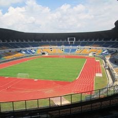
Gelora Bandung Lautan Api Stadium
39.6 km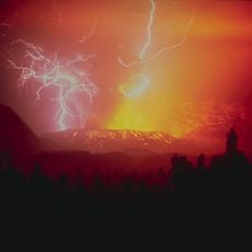
Gunung Galunggung
12.6 km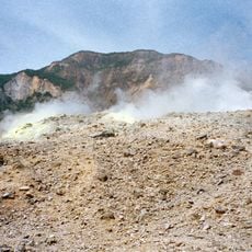
Gunung Papandayan
31.6 km
Gunung Cikuray
20.2 km
Asian-African Conference Museum
51.3 km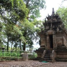
Cangkuang
12 km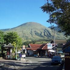
Gunung Guntur
16.8 km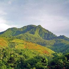
Gunung Manglayang
43.7 km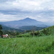
Gunung Tampomas
47.4 km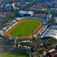
Siliwangi Stadium
50.9 km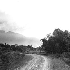
Gunung Malabar
39.4 km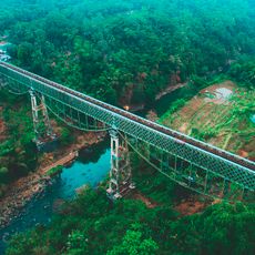
Cirahong Bridge
40.4 km
Sri Baduga Museum
50.6 km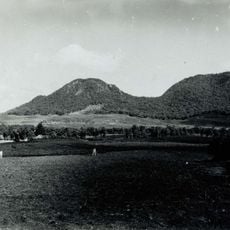
Wayang-Windu
38.4 km
Bojongmenje
32 km
Gunung Telagabodas
9.2 km
Kamojang
21.6 km
Manonjaya Grand Mosque
39.9 km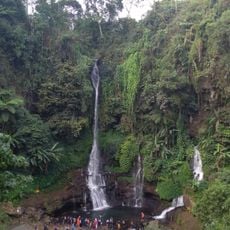
Curug Orok
35.1 km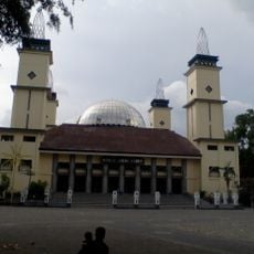
Great Mosque of Garut
9.7 km
Gunung Kendang
29.5 km
Galuh Stadium
44.1 km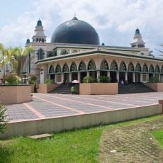
Great Mosque of Ciamis
43.3 km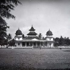
Great Mosque of Tasikmalaya
30.1 km
Pustakalana Children's Library
51 km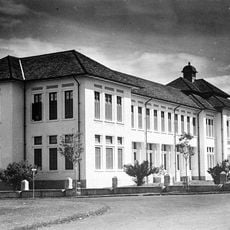
Hogereburgerschool, Bandung
51.1 km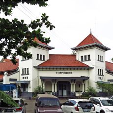
MULO Bandoeng
51.1 kmReviews
Visited this place? Tap the stars to rate it and share your experience / photos with the community! Try now! You can cancel it anytime.
Discover hidden gems everywhere you go!
From secret cafés to breathtaking viewpoints, skip the crowded tourist spots and find places that match your style. Our app makes it easy with voice search, smart filtering, route optimization, and insider tips from travelers worldwide. Download now for the complete mobile experience.

A unique approach to discovering new places❞
— Le Figaro
All the places worth exploring❞
— France Info
A tailor-made excursion in just a few clicks❞
— 20 Minutes