Ketos, village in Wonogiri Regency, Central Java, Indonesia
Location: Paranggupito
Elevation above the sea: 278 m
GPS coordinates: -8.16000,110.84861
Latest update: March 17, 2025 05:09
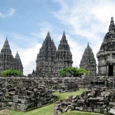
Prambanan Temple
60.1 km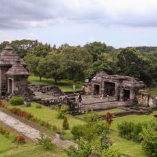
Ratu Boko Temple
58.8 km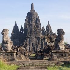
Sewu
60.7 km
Dirgantara Mandala Museum
62.9 km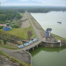
Gajah Mungkur Reservoir
28.9 km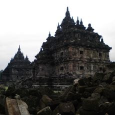
Plaosan temple
60.2 km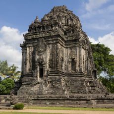
Kalasan Temple
60.3 km
Astana Giribangun
61.6 km
Pindul Cave
34.4 km
Grojogan Sewu waterfall
63.7 km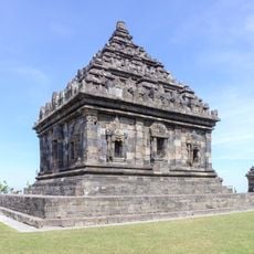
Ijo Temple
55.9 km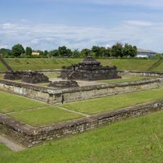
Sambisari
62.6 km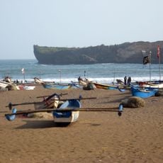
Pantai baron
33.2 km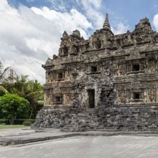
Sari Temple
60.6 km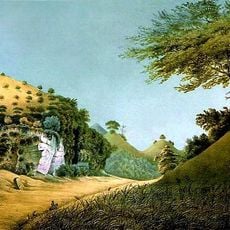
Gunung Sewu Geopark
15.2 km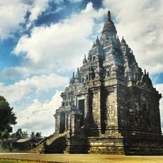
Sajiwan
59 km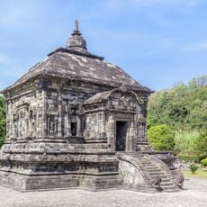
Banyunibo
57.7 km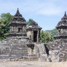
Barong Temple
57.7 km
Kid Fun Parc
58.2 km
Plered
58.4 km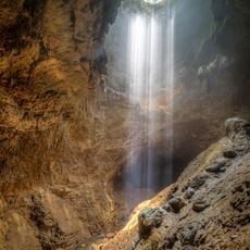
Jomblang Cave
27.5 km
Kedulan Temple
62.5 km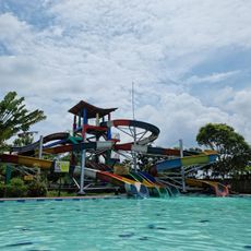
Grand Puri Waterpark
63 km
Candi Merak
63.5 km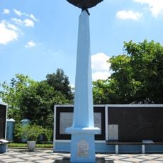
Monumen Perjuangan TNI AU
63 km
Candi Dawangsari
57.9 km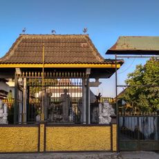
Padepokan Sumber Karahayon Museum
58.9 km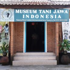
Museum Tani Jawa Indonesia
58.8 kmReviews
Visited this place? Tap the stars to rate it and share your experience / photos with the community! Try now! You can cancel it anytime.
Discover hidden gems everywhere you go!
From secret cafés to breathtaking viewpoints, skip the crowded tourist spots and find places that match your style. Our app makes it easy with voice search, smart filtering, route optimization, and insider tips from travelers worldwide. Download now for the complete mobile experience.

A unique approach to discovering new places❞
— Le Figaro
All the places worth exploring❞
— France Info
A tailor-made excursion in just a few clicks❞
— 20 Minutes