
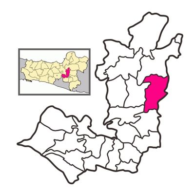
Andong, district in Boyolali Regency, Central Java Province, Indonesia
Location: Boyolali
Elevation above the sea: 183 m
GPS coordinates: -7.37444,110.76340
Latest update: May 19, 2025 15:28
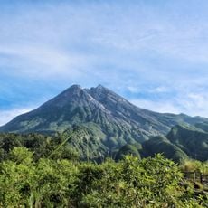
Merapi
39.6 km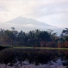
Gunung Merbabu
36.7 km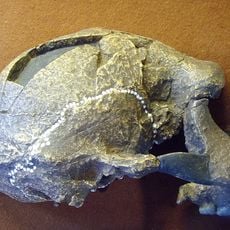
Sangiran
12.7 km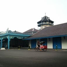
Kraton of Surakarta
23.7 km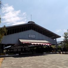
Ambarawa Railway Museum
41.8 km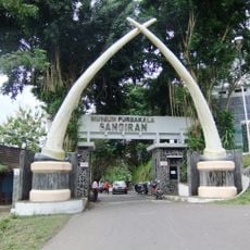
Musiyum Manungsa Purwa Sangiran
11.8 km
Umbul Ponggok
30.1 km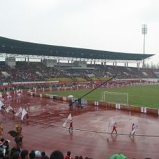
Manahan Stadium
20.7 km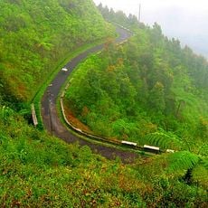
Gunung Telomoyo
40.1 km
Mangkunegaran Palace
22.4 km
Museum Kereta Api Ambarawa
41.7 km
Sriwedari Park
22.2 km
Fort Vastenburg
23.2 km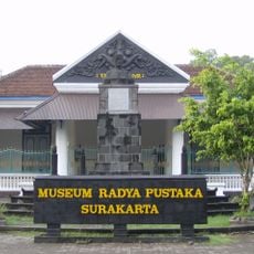
Radya Pustaka Museum
22.3 km
Arsitektur dan peninggalan sejarah di Surakarta
23.3 km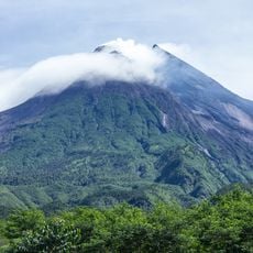
Gunung Merapi National Park
42.2 km
Great Mosque of Surakarta
23.3 km
Fort Willem I
40.7 km
National Press Monument
22.1 km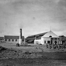
De Tjolomadoe
17.9 km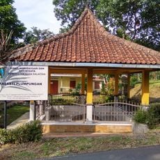
Plumpungan Inscription
28.7 km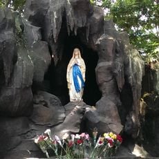
Gua Maria Kerep
42.5 km
Danar Hadi Batik Museum
22.4 km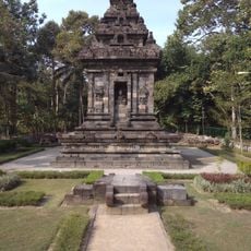
Candi Merak
40.2 km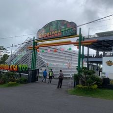
Suraloka Interactive Zoo
45.8 km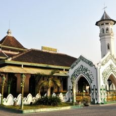
Masjid Wustho Mangkunegaran
22.2 km
Water Gong Pusur
29.1 km
Bale Kanem
42.2 kmReviews
Visited this place? Tap the stars to rate it and share your experience / photos with the community! Try now! You can cancel it anytime.
Discover hidden gems everywhere you go!
From secret cafés to breathtaking viewpoints, skip the crowded tourist spots and find places that match your style. Our app makes it easy with voice search, smart filtering, route optimization, and insider tips from travelers worldwide. Download now for the complete mobile experience.

A unique approach to discovering new places❞
— Le Figaro
All the places worth exploring❞
— France Info
A tailor-made excursion in just a few clicks❞
— 20 Minutes