Enable Location

We need your location to show you interesting places around you

Discover nearby places

Find interesting locations and hidden gems around you

Precise directions

Get accurate directions and distances to places

Your location is never shared with other users. It's only used when you tap the location button.

Boyolali

Log in to your account

Start exploring — it's free

Trusted by 62,845 travelers worldwide

Continue with Google
Continue with Apple
or

We will send you a code to connect

By continuing, you accept our Terms and Conditions and our Privacy Policy

Check your inbox

We've sent a pincode in your inbox. Please enter the code below.

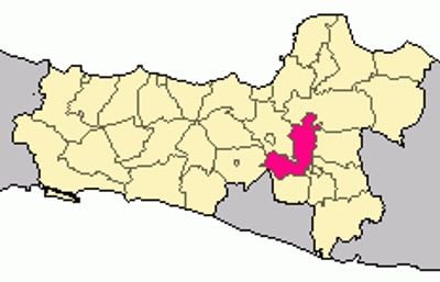
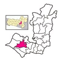
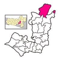
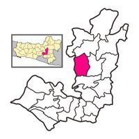
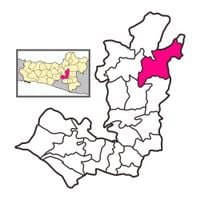
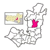
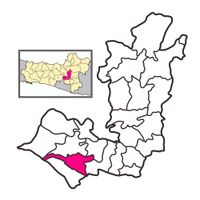
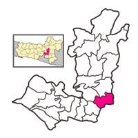
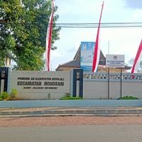
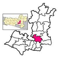
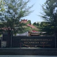
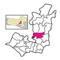
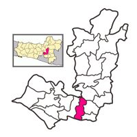
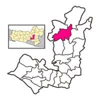
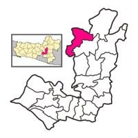
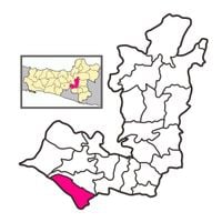
Boyolali, Administrative regency in Central Java, Indonesia

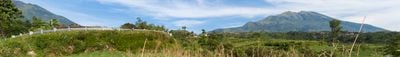
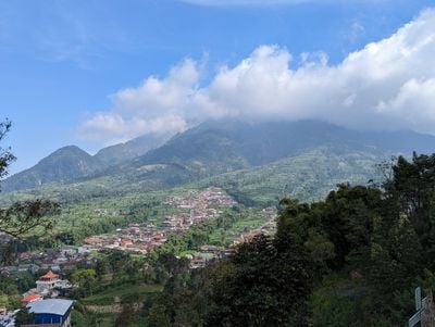
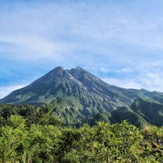
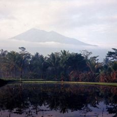
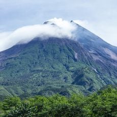
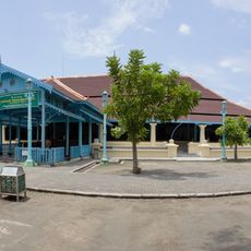
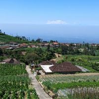
Boyolali is an administrative regency in Central Java, Indonesia, that spreads across gentle hills between Mount Merapi and Mount Merbabu. The landscape mixes open grazing land with tea plantations and small settlements scattered along winding roads.

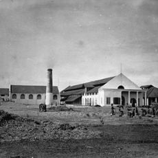
The administrative unit came into being in 1847 through a treaty between Pakubuwono VII and Dutch authorities to improve governance in the mountain region. Over the decades the economy shifted from pure farming to dairy production, which now shapes much of the area.

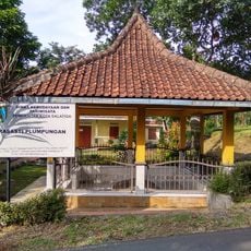
The name comes from Javanese words relating to the fertile soil that sits between two volcanoes. Rice paddies alternate with vegetable plots, while small workshops along the roads weave baskets and shape pottery.

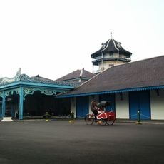
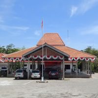
The main town sits on intercity roads that connect to neighboring cities, while horse-drawn carriages and pedicabs handle local traffic within settlements. The elevation brings mild daytime weather and light fog in the mornings between the hills.

The area carries the nickname Milk City because of the many dairy farms that graze cows on the slopes between the volcanoes. Small dairies process fresh milk every day, and visitors can taste local dairy products along the roads.

The community of curious travelers

AroundUs brings together thousands of curated places, local tips, and hidden gems, enriched daily by 60,000 contributors worldwide.

Start exploring
Location
Capital city
Boyolali
Elevation above the sea
149 m
Shares border with
Semarang, Grobogan, Sragen, Karanganyar, Sukoharjo, Surakarta, Klaten, Magelang
GPS coordinates
-7.53222,110.60250
Latest update
December 13, 2025 17:50
« Boyolali - Administrative regency in Central Java, Indonesia » is provided by Around Us (aroundus.com). Images and texts are derived from Wikimedia project under a Creative Commons license. You are allowed to copy, distribute, and modify copies of this page, under the conditions set by the license, as long as this note is clearly visible.

Discover hidden gems everywhere you go!

From secret cafés to breathtaking viewpoints, skip the crowded tourist spots and find places that match your style. Our app makes it easy with voice search, smart filtering, route optimization, and insider tips from travelers worldwide. Download now for the complete mobile experience.

Around Us App Screenshot

A unique approach to discovering new places

Le Figaro

All the places worth exploring

France Info

A tailor-made excursion in just a few clicks

20 Minutes

Around Us
Travel Guide & Maps
Download

Send to your phone

QR Code
1

Open the camera app on your mobile.

2

Point at the QR code with your camera. A notification will appear.

3

Tap the notification to open the link.