Enable Location

We need your location to show you interesting places around you

Discover nearby places

Find interesting locations and hidden gems around you

Precise directions

Get accurate directions and distances to places

Your location is never shared with other users. It's only used when you tap the location button.

Log in to your account

Start exploring — it's free

Trusted by 61,677 travelers worldwide

Continue with Google
Continue with Apple
or

We will send you a code to connect

By continuing, you accept our Terms and Conditions and our Privacy Policy

Check your inbox

We've sent a pincode in your inbox. Please enter the code below.

Teluk Bintuni, Administrative region in West Papua, Indonesia

Description

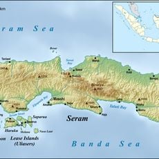
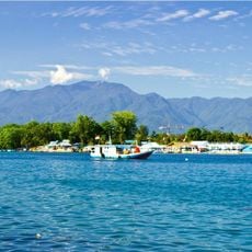
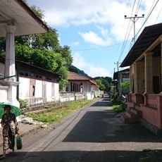
Teluk Bintuni is an administrative region in West Papua that stretches around Bintuni Bay, separating the Bird's Head Peninsula from the Bomberai Peninsula. The area contains twenty-four districts, two urban communities, and one hundred fifteen villages, with the town of Bintuni serving as the administrative center.

History

The Indonesian House of Representatives established this region as an independent regency on December 11, 2002, separating it from surrounding territories. This administrative change marked a significant turning point in the organization of West Papua province.

Culture

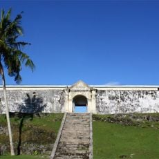
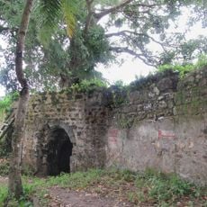
Seven indigenous groups inhabit the region, each with distinct customs visible in local crafts, settlements, and celebrations. These communities shape the everyday character of the place through their traditions and practices.

Practical

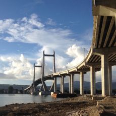
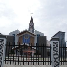
The town of Bintuni is the main arrival point for visitors exploring the region and offers basic services and accommodations. Travel is easier outside the rainy season when roads and waterways are more accessible.

Did you know?

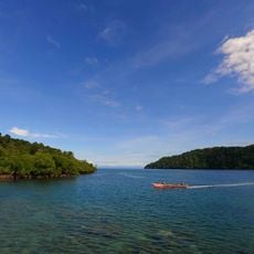
The landscape is dominated by expansive mangrove forests that harbor rich wildlife and ecologically important habitats. The region also hosts a major natural gas field, representing one of the most significant energy resources driving the local economy.

Location
Location
Inception
December 11, 2002
Capital city
Bintuni
Elevation above the sea
50 m
Shares border with
South Sorong, Maybrat, Tambrauw, Pegunungan Arfak, South Manokwari, Teluk Wondama, Kaimana, Fakfak
GPS coordinates
-1.88037,133.33105
Latest update
December 7, 2025 19:22

AroundUs brings together thousands of curated places, local tips, and hidden gems, enriched daily by 60,000 contributors worldwide. Discover all places nearby (West Papua).

Administrative divisions
« Teluk Bintuni - Administrative region in West Papua, Indonesia » is provided by Around Us (aroundus.com). Images and texts are derived from Wikimedia project under a Creative Commons license. You are allowed to copy, distribute, and modify copies of this page, under the conditions set by the license, as long as this note is clearly visible.

Discover hidden gems everywhere you go!

From secret cafés to breathtaking viewpoints, skip the crowded tourist spots and find places that match your style. Our app makes it easy with voice search, smart filtering, route optimization, and insider tips from travelers worldwide. Download now for the complete mobile experience.

Around Us App Screenshot

A unique approach to discovering new places

Le Figaro

All the places worth exploring

France Info

A tailor-made excursion in just a few clicks

20 Minutes

Around Us
Travel Guide & Maps
Download

Send to your phone

QR Code
1

Open the camera app on your mobile.

2

Point at the QR code with your camera. A notification will appear.

3

Tap the notification to open the link.