Woolloongabba, Administrative division in Brisbane, Australia.
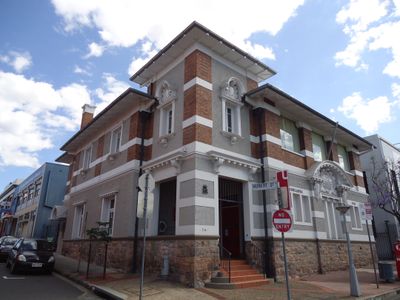
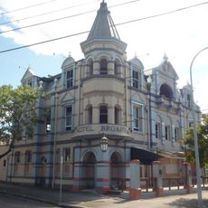
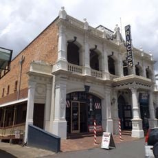
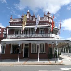
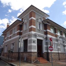
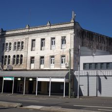
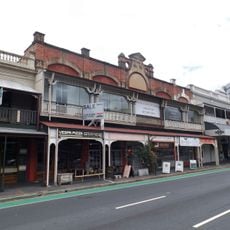
Woolloongabba is a suburb in Brisbane's inner southern sector that developed from wetlands into a mixed residential and commercial district. The area is now characterized by apartment buildings, local shops, and a major hospital complex that occupies several city blocks.
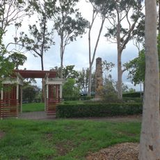
The area was once known as One Mile Swamp and remained boggy until the 1890s when drainage projects began. Development then transformed it into inhabited and commercial land that became part of the expanding city.
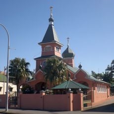
The name comes from Aboriginal languages and refers to a gathering place where Indigenous groups met for ceremonies and discussions. This connection to shared spaces remains part of how local people think about the suburb today.
The suburb has strong public transport connections with the South-East Busway and two railway stations on the Cleveland Line. Visitors can explore several streets on foot, with the stations serving as central reference points for getting oriented.
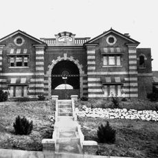
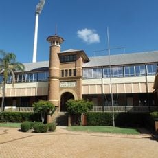
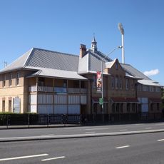
The Princess Alexandra Hospital was established in the 1890s and is now one of the region's leading centers for trauma care and organ transplants. The facility has grown from its original building into a large medical complex that is a major employer in the suburb.
Location: City of Brisbane
Location: Queensland
Elevation above the sea: 12 m
Shares border with: Stones Corner, Greenslopes, Coorparoo, Fairfield, East Brisbane, Dutton Park, Annerley, South Brisbane, Kangaroo Point
GPS coordinates: -27.48560,153.02900
Latest update: December 13, 2025 22:19
Boggo Road Gaol
1.1 km
Langlands Park
2.3 km
Broadway Hotel
1 km
Princess Theatre, Woolloongabba
89 m
St Nicholas Russian Orthodox Cathedral
619 m
East Brisbane State School
1.1 km
St Paul's Anglican Church, East Brisbane
1.6 km
Norman Hotel
918 m
Buranda State School
1.9 km
Diamantina Health Care Museum
1.7 km
Triumph Cinema
1.8 km
Woolloongabba Post Office
514 m
Gair Park
1.3 km
Hefferan Park Air Raid Shelter
1.6 km
Taylor-Heaslop Building
803 m
Woolloongabba Police Station
711 m
Shop Row, Woolloongabba
33 m
Dutton Park State School
872 m
Stones Corner Air Raid Shelter
2 km
Hillyards Shop House
104 m
Pollock's Shop House
108 m
Phoenix Buildings, Woolloongabba
113 m
Woolloongabba Air Raid Shelter
1.7 km
Woolloongabba Art Gallery
53 m
Eddie Gilbert memorial
736 m
Leslie Karayan Mural
715 m
Leslie Karayan
729 m
Dutton Park War Memorial
1.3 kmVisited this place? Tap the stars to rate it and share your experience / photos with the community! Try now! You can cancel it anytime.
Discover hidden gems everywhere you go!
From secret cafés to breathtaking viewpoints, skip the crowded tourist spots and find places that match your style. Our app makes it easy with voice search, smart filtering, route optimization, and insider tips from travelers worldwide. Download now for the complete mobile experience.
A unique approach to discovering new places❞
— Le Figaro
All the places worth exploring❞
— France Info
A tailor-made excursion in just a few clicks❞
— 20 Minutes