Merauke, Administrative region in South Papua, Indonesia
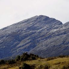
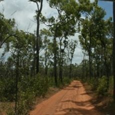
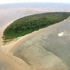
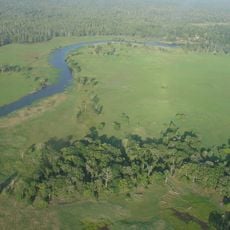
Merauke is an administrative region in southeastern Indonesia characterized by wetlands, forests, and coastal areas spread across multiple districts. The landscape ranges from swampy terrain near water to drier inland zones with varied vegetation.
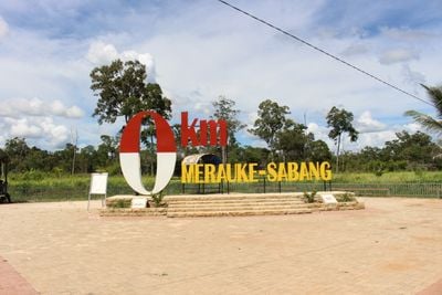
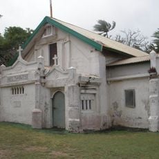
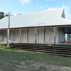
Dutch colonial authorities established this region as a strategic outpost in 1902, initially attracting hunters and explorers drawn to the area's diverse wildlife. The settlement became an important administrative center over time.
The Marind people shape daily life here through their traditions and deep connection to the land. Their crafts, rituals, and knowledge of nature remain visible in local markets and community gatherings throughout the region.
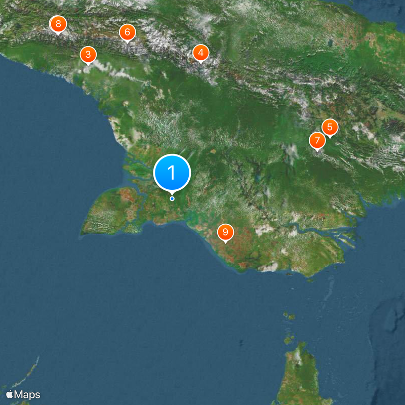
Visitors can reach the region through Mopah International Airport, with transportation options connecting to nearby towns and districts throughout the area. Local roads vary in condition depending on the season and rainfall.
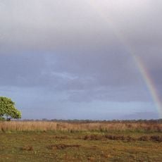
Wasur National Park protects a remarkable blend of savanna and swamp habitats where visitors can spot small kangaroos and deer roaming freely. This park remains one of the few places where such wildlife and landscape combinations exist in the region.
Location: South Papua
Capital city: Merauke
Elevation above the sea: 1 m
Shares border with: Mappi, Boven Digoel
Website: http://merauke.go.id
GPS coordinates: -7.66667,139.66667
Latest update: December 17, 2025 08:17
Puncak Jaya
486.5 km
Lorentz National Park
382.8 km
Puncak Mandala
336.4 km
Hegigio Gorge Pipeline Bridge
408.1 km
Puncak Trikora
394.4 km
Mount Bosavi
368.2 km
Carstensz Glacier
484.8 km
Wasur National Park
165.3 km
Sumantri
487.2 km
Ngga Pulu
486.5 km
Carstensz East
484.4 km
Apudthama National Park
523.8 km
Booby Island Light
409.6 km
Warul Kawa Indigenous Protected Area
293.9 km
West Northwall Firn
487.1 kmMount Yamin
335.3 km
All Saints Anglican Church, Darnley Island
499.4 km
Goods Island Light
422.8 km
Quetta Memorial Precinct
428.8 km
Our Lady of the Sacred Heart Church, Thursday Island
428.8 km
Tonda Wildlife Management Area
254.7 km
Eborac Island Light
460.3 kmSomerset Graves Site
469.5 km
Three Kings Cathedral
464 km
Pendidikan Stadium
405 km
Wyborn Reef Light
489.7 kmMamo Kananda
373.1 kmHoly Trinity Church, Saibai Island
376.9 kmVisited this place? Tap the stars to rate it and share your experience / photos with the community! Try now! You can cancel it anytime.
Discover hidden gems everywhere you go!
From secret cafés to breathtaking viewpoints, skip the crowded tourist spots and find places that match your style. Our app makes it easy with voice search, smart filtering, route optimization, and insider tips from travelers worldwide. Download now for the complete mobile experience.
A unique approach to discovering new places❞
— Le Figaro
All the places worth exploring❞
— France Info
A tailor-made excursion in just a few clicks❞
— 20 Minutes