Lake Kutubu, Protected wetland lake in Southern Highlands Province, Papua New Guinea.
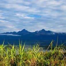
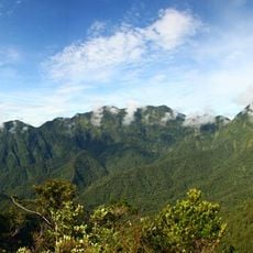
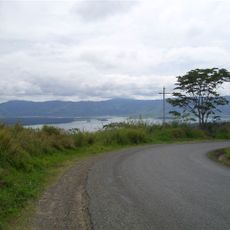
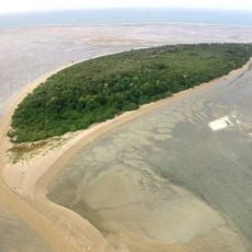
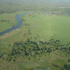
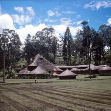
Lake Kutubu is the second-largest lake in Papua New Guinea and the country's largest upland body of water, lying at 800 m in a depression among the rugged interior mountains of Southern Highlands Province, about 50 km southwest of Mendi. It covers 51.84 km2, drains east into the Kikori River, reaches 70 m deep and holds several islands, the largest being Wasemi in the north.
The lake gave its name to the Kutubu Oil Project, Papua New Guinea's first commercial oilfield development, operated by Oil Search and in production since 1992. The project supported the local economy but brought in-migration and ecological problems such as pollution, forest destruction and overfishing. A proposed gas pipeline and road are expected to worsen these pressures unless well managed.
Two ethnic groups share the catchment: the Foe in the south and the Fasu in the north, spread across 33 villages with a combined population estimated at 10,885. Kutubuan and other Trans-New Guinea languages are spoken around the lake, and the water gives its name to the Kutubu Oil Project, the country's first commercial oilfield.
The lake lies east of the Kikori River, about 50 km southwest of Mendi, the provincial capital, and is reached by light aircraft or on foot. The catchment holds 33 villages, so services are minimal. The lake drains into the Kikori, and a proposed gas pipeline and road may change access and conditions.
Lake Kutubu holds 13 endemic fish species, the richest lacustrine fish fauna in the New Guinea-Australia region, among them the Kutubu tandan (Oloplotosus torobo) and the Lake Kutubu rainbowfish (Melanotaenia lacustris). The Parastacid crayfish Cherax papuanus is also found only here. The lake and Lake Sentani together form an ecoregion on WWF's Global 200.
The community of curious travelers
AroundUs brings together thousands of curated places, local tips, and hidden gems, enriched daily by 92,610 contributors worldwide.