Saruwaged Range, Mountain range in Morobe Province, Papua New Guinea.
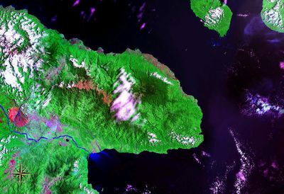
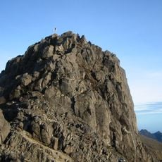
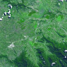
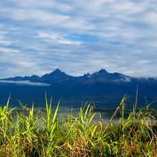
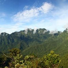
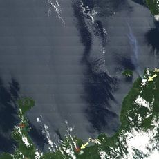
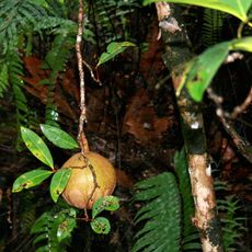
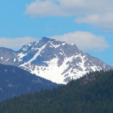
Saruwaged Range is a mountain system on the Huon Peninsula in Papua New Guinea that spans multiple ridgelines and rises to about 4,121 meters at its highest point. The region is covered in dense tropical forest with numerous river valleys and steep terrain that varies greatly in elevation across its different sections.
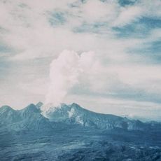
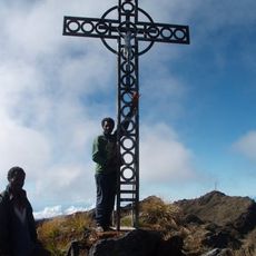
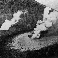
The region was first explored by German expeditions in the late 19th century, with the first documented ascent of the main peak completed in 1913. These early explorations established the geographical knowledge of this remote mountain area.
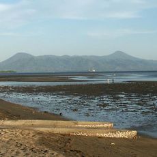
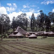
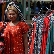
Local communities living near the range have deep connections to these mountains that shape how they use the land and water resources around them. These ties appear in daily practices and in the stories people tell about the places they know.
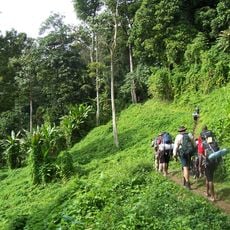
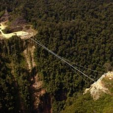
Visitors should hire experienced local guides since the area has unmarked trails and dense forest that can be confusing to navigate. Sturdy footwear and gear for changing weather are necessary, especially at higher elevations where conditions shift rapidly.
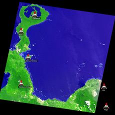
The southern slopes feed multiple streams year-round that eventually flow into the Markham River system. This constant water supply makes this place crucial for ecosystems far downstream, though most visitors never realize this connection.
The community of curious travelers
AroundUs brings together thousands of curated places, local tips, and hidden gems, enriched daily by 60,000 contributors worldwide.