Geography of Papua New Guinea, geographical features of Papua New Guinea
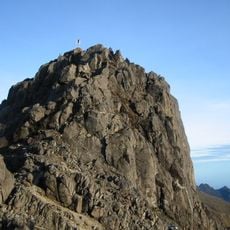
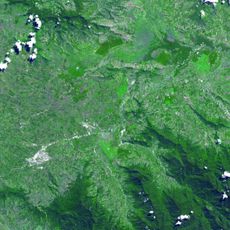
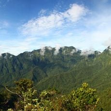
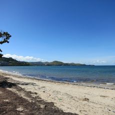
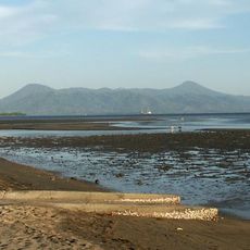
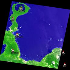
The geography of Papua New Guinea encompasses the eastern half of the island of New Guinea plus many smaller islands including New Britain, New Ireland, and Bougainville. The terrain features mountain ranges with steep peaks, dense rainforest, and major rivers such as the Fly and Sepik.
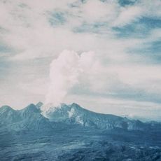
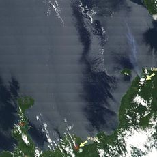
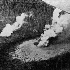
The land was shaped by tectonic processes where the Indo-Australian plate meets the Pacific plate, causing frequent earthquakes and volcanic eruptions. These geological events have created fertile volcanic soils that have supported human settlement over thousands of years.
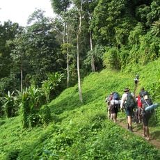
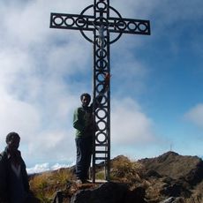
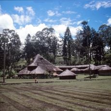
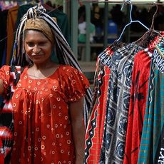
The geography shapes how people live, with communities settling in mountain villages and valleys where they grow crops using traditional methods. These isolated groups speak their own languages and maintain ways of life deeply rooted in the land and its resources.
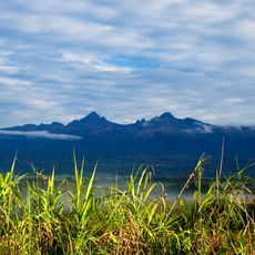
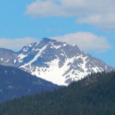
The country covers a large area with challenging terrain that is difficult to access in many places, particularly in mountain regions and dense forests. Expect a tropical climate that is hot and humid with heavy rain in lowland areas, while higher elevations are cooler.
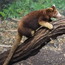
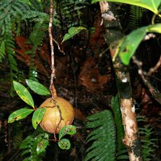
The wildlife here includes hundreds of bird species, including birds of paradise, plus many reptiles and insects rarely found in such concentration. The steep mountain areas are prone to landslides triggered by heavy rains, making conditions here particularly unpredictable.
The community of curious travelers
AroundUs brings together thousands of curated places, local tips, and hidden gems, enriched daily by 60,000 contributors worldwide.