Cape Krusenstern National Monument, National monument and historic landmark in Northwest Arctic Borough, United States.
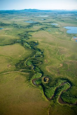
Cape Krusenstern National Monument is a coastal area in Northwest Alaska featuring limestone hills, lagoons, and expanses of flat coastal plain. The site includes a series of ancient beach ridges stacked one after another, creating a distinctive layered landscape that slopes gently toward the sea.
People have lived in this region for at least 4,000 years, as shown by archaeological discoveries. The evidence traces cultural development from ancient to modern times, revealing how settlements changed and adapted over many centuries.
The monument holds deep meaning for the Iñupiaq people, who continue hunting and fishing here using methods passed down through countless generations. Local communities rely on the land's resources much as their ancestors have done.
Access to the monument is by boat or plane only, so planning ahead is essential before your visit. The visitor center in nearby Kotzebue can provide information and help you prepare for the remote location and conditions.
The stacked beach ridges form a natural record written in sand and earth, with each ridge representing a different time period of human settlement. Visitors can literally walk across thousands of years of history by moving from one ridge to the next.
The community of curious travelers
AroundUs brings together thousands of curated places, local tips, and hidden gems, enriched daily by 60,000 contributors worldwide.