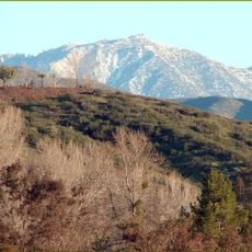
San Bernardino Mountains, Mountain range in Southern California, United States.
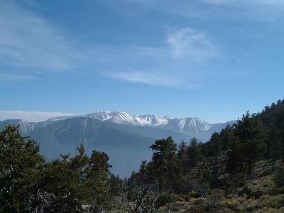
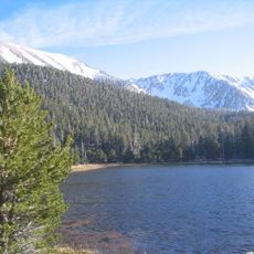
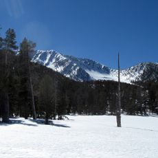
The San Bernardino Mountains stretch for ninety kilometers through southern California and form a barrier between desert and coastal regions. The highest point sits at San Gorgonio Mountain, where conifer forests and alpine meadows grow in the upper zones.
Spanish explorers reached the region in seventeen seventy-two and documented the range during early expeditions through California. Later in the nineteenth century, logging settlements and water reservoirs developed to support the growing cities in the valley.
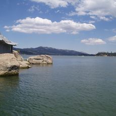
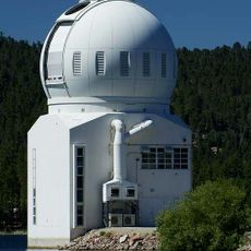
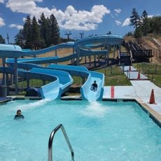
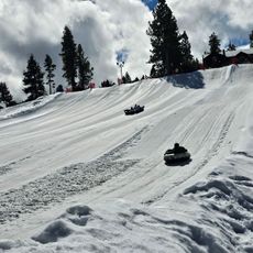
The name derives from missionaries who traveled through during the eighteenth century and established settlements in the valley below. Hikers and locals today use the area for camping and fishing at mountain lakes, while others visit viewpoints along the high roads.
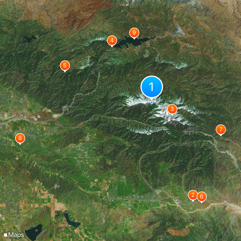
Four major roads cross the range and connect cities to recreation areas, though some routes may close during winter snow. Trails range from short forest walks to multi-day routes in higher elevations, so bring appropriate gear depending on the season.
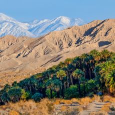
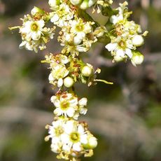
The range forms a climate island where more than sixteen hundred plant species grow, including types otherwise found farther north. The ridges also capture moisture from Pacific clouds and feed streams and springs that sustain the surrounding lowlands.
The community of curious travelers
AroundUs brings together thousands of curated places, local tips, and hidden gems, enriched daily by 60,000 contributors worldwide.