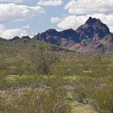
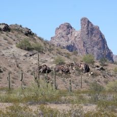
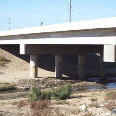
Painted Rock Dam, Embankment dam in Maricopa County, Arizona, US.
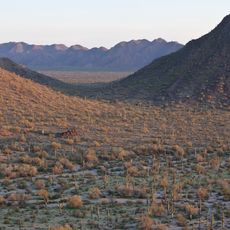
Painted Rock Dam is an embankment dam across the Gila River that creates a large reservoir for water management. The structure helps control seasonal flooding and supports irrigation for farming areas downstream.
The dam was built between 1957 and 1960 by the United States Army Corps of Engineers. The project was part of water management development efforts in the lower Gila River region.
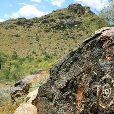
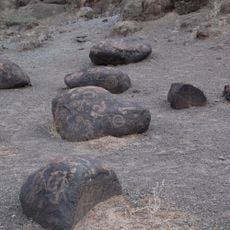
The dam takes its name from the Painted Rock Petroglyph Site, where prehistoric rock carvings mark long human presence in the region. Nearby, inscriptions left by the Butterfield Overland Mail route, the Mormon Battalion and Juan Bautista de Anza's 1774 expedition can still be found at various sites.
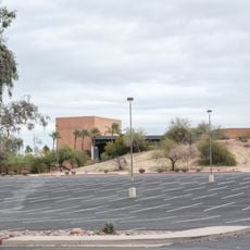
The lake bed and dam area are closed to the public: the state abandoned the campground and the site is marked "NO TRESPASSING", with no hunting, hiking or camping allowed. The Army Corps of Engineers maintains the property, so check access conditions before travelling. The reservoir is usually dry because the Gila and Salt rivers are diverted upstream for Phoenix irrigation and municipal water.
The reservoir flooded about 10,000 acres of the Tohono O'odham Gila Bend Reservation, destroying a 750-acre tribal farm and several communities. Residents were moved to a 40-acre parcel called San Lucy Village. In 1986 the tribe gave up its legal claims for $30,000,000 and the right to add up to 10,000 acres of newly purchased land.
The community of curious travelers
AroundUs brings together thousands of curated places, local tips, and hidden gems, enriched daily by 94,042 contributors worldwide.