Enable Location

We need your location to show you interesting places around you

Discover nearby places

Find interesting locations and hidden gems around you

Precise directions

Get accurate directions and distances to places

Your location is never shared with other users. It's only used when you tap the location button.

Patagonia

Log in to your account

Join the adventure

Create your free account and start exploring (like 60k+ others)

We will send you a code to connect

or
Continue with Google
Continue with Apple
By continuing, you accept our Terms and Conditions and our Privacy Policy

Check your inbox

We've sent a pincode in your inbox. Please enter the code below.

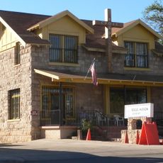
Patagonia, Mountain town in Santa Cruz County, Arizona.

Description

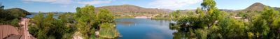
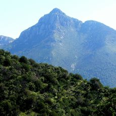
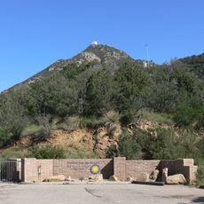
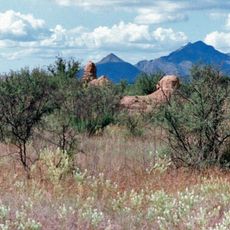
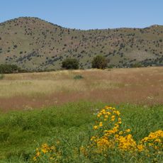
Patagonia is a small town nestled between the Patagonia and Santa Rita mountain ranges at about 1,200 meters in elevation. The setting features low mountains and forested areas, creating a quiet, scattered residential pattern.

History

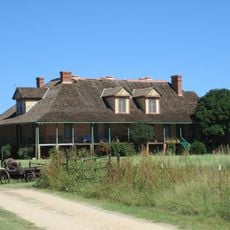
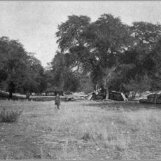
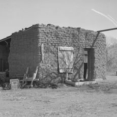
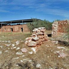
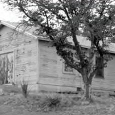
The town began in the 1800s as a mining and ranching settlement when prospectors and herders developed the area. Over time it shifted toward becoming a small residential community focused on land preservation and outdoor recreation.

Culture

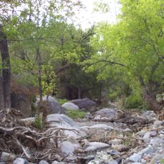
The community maintains connection to its ranching roots through how people live alongside the surrounding mountains and open spaces. You can sense this relationship in everyday activities and the way locals interact with the landscape that shapes their town.

Practical

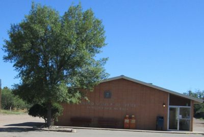
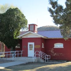
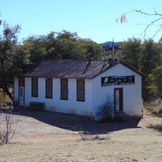
The town has a relaxed pace and is best explored on foot by walking through the main streets and checking out local services. Nearby mountains and nature preserves are easy to reach for visitors interested in hiking or bird watching.

Did you know?

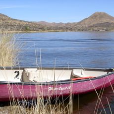
The town has become a destination for bird watchers because two high-quality reserves, including a specialized hummingbird sanctuary, host rare and colorful bird species. This combination has drawn small conservation communities and given the place an unexpected international reputation.

Elevation above the sea
1,236 m
GPS coordinates
31.54167,-110.75333
Latest update
December 14, 2025 14:40

AroundUs brings together thousands of curated places, local tips, and hidden gems, enriched daily by 60,000 contributors worldwide. Discover all places nearby (Santa Cruz County).

Around this place
Madera Canyon
United States of America

Madera Canyon

28.5 km
Tumacácori National Historical Park
United States of America

Tumacácori National Historical Park

28.4 km
Mount Wrightson
United States of America

Mount Wrightson

19.4 km
VERITAS
United States of America

VERITAS

24 km
MMT Observatory
United States of America

MMT Observatory

20.5 km
Patagonia Lake State Park
United States of America

Patagonia Lake State Park

10.9 km
San Rafael Ranch
United States of America

San Rafael Ranch

24.8 km
Fred Lawrence Whipple Observatory
United States of America

Fred Lawrence Whipple Observatory

19.5 km
Fort Buchanan
United States of America

Fort Buchanan

13.6 km
Tumacácori Mission
United States of America

Tumacácori Mission

28.4 km
Kentucky Camp
United States of America

Kentucky Camp

21.9 km
Mount Hopkins
United States of America

Mount Hopkins

20.6 km
Guevavi Mission
United States of America

Guevavi Mission

20.4 km
Pete Kitchen Ranch
United States of America

Pete Kitchen Ranch

24.6 km
Calabazas Mission
United States of America

Calabazas Mission

21.9 km
Infrared Optical Telescope Array
United States of America

Infrared Optical Telescope Array

20.8 km
The Little Outfit Schoolhouse
United States of America

The Little Outfit Schoolhouse

17.8 km
Canelo Hills Cienega Reserve
United States of America

Canelo Hills Cienega Reserve

21.7 km
Little Red Schoolhouse
United States of America

Little Red Schoolhouse

20.5 km
Canelo School
United States of America

Canelo School

23 km
Canelo Ranger Station
United States of America

Canelo Ranger Station

22.5 km
Cady Hall
United States of America

Cady Hall

341 m
James Finley House
United States of America

James Finley House

9.7 km
United States Post Office and Immigration Station–Nogales Main
United States of America

United States Post Office and Immigration Station–Nogales Main

28.7 km
Santa Cruz County Courthouse
United States of America

Santa Cruz County Courthouse

28.8 km
Sen. James A. Harrison House
United States of America

Sen. James A. Harrison House

28.6 km
W.G. Bowman House
United States of America

W.G. Bowman House

28.2 km
George Dunbar House
United States of America

George Dunbar House

28.1 km
Show the full map
« Patagonia - Mountain town in Santa Cruz County, Arizona » is provided by Around Us (aroundus.com). Images and texts are derived from Wikimedia project under a Creative Commons license. You are allowed to copy, distribute, and modify copies of this page, under the conditions set by the license, as long as this note is clearly visible.

Discover hidden gems everywhere you go!

From secret cafés to breathtaking viewpoints, skip the crowded tourist spots and find places that match your style. Our app makes it easy with voice search, smart filtering, route optimization, and insider tips from travelers worldwide. Download now for the complete mobile experience.

Around Us App Screenshot

A unique approach to discovering new places

Le Figaro

All the places worth exploring

France Info

A tailor-made excursion in just a few clicks

20 Minutes

Around Us
Travel Guide & Maps
Download

Send to your phone

QR Code
1

Open the camera app on your mobile.

2

Point at the QR code with your camera. A notification will appear.

3

Tap the notification to open the link.