Enable Location

We need your location to show you interesting places around you

Discover nearby places

Find interesting locations and hidden gems around you

Precise directions

Get accurate directions and distances to places

Your location is never shared with other users. It's only used when you tap the location button.

Coronado National Forest

Log in to your account

Start exploring — it's free

Trusted by 69,575 travelers worldwide

Continue with Google
Continue with Apple
or

We will send you a code to connect

By continuing, you accept our Terms and Conditions and our Privacy Policy

Check your inbox

We've sent a pincode in your inbox. Please enter the code below.

Discussion Reviews 1 Photos
18.6k Popularity

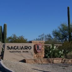
Coronado National Forest, National forest in southeastern Arizona and southwestern New Mexico, United States.

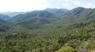
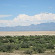
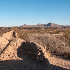
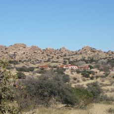
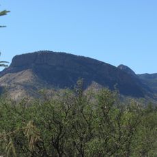
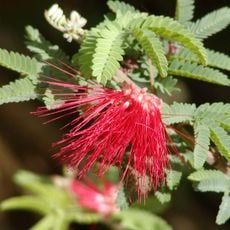
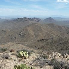
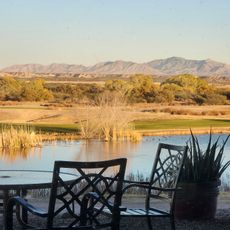
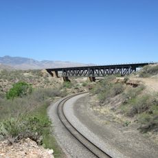
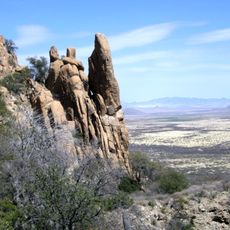
Coronado National Forest is a protected forest spanning multiple mountain ranges across Arizona and New Mexico with varied terrain and habitats. The landscape transitions from drier lower elevations to cooler, more forested mountain areas that support different types of plants and wildlife.

The forest was established in 1902 as part of a forest reserve system and later combined with other national forests to reach its current size. This consolidation created a large protected woodland system across the region.

Apache and other Native American tribes maintain deep roots here through generations of living and working the land. These communities continue traditional practices that remain visible in how the forest is used and valued today.

The forest offers many hiking trails of varying difficulty and campgrounds suitable for different experience levels and camping styles. Visitors should prepare for changing weather conditions and significant elevation changes, especially in the mountain areas.

A 2017 wildfire sparked during a gender reveal party burned thousands of acres and resulted in legal consequences for those involved. This incident drew international attention to the risks of human activities in forest areas.

The community of curious travelers

AroundUs brings together thousands of curated places, local tips, and hidden gems, enriched daily by 60,000 contributors worldwide.

Start exploring
Location
Location
Operator
United States Forest Service
GPS coordinates
31.99640,-110.30900
Latest update
December 7, 2025 10:08
Around this place
The Thing?
United States of America

The Thing?

26.3 km
Kartchner Caverns State Park
United States of America

Kartchner Caverns State Park

18.1 km
Bird Cage Theatre
United States of America

Bird Cage Theatre

39.2 km
Empire Ranch
United States of America

Empire Ranch

39.3 km
Texas Canyon
United States of America

Texas Canyon

22 km
Colossal Cave
United States of America

Colossal Cave

31.3 km
Willcox Playa
United States of America

Willcox Playa

46.4 km
Schieffelin Hall
United States of America

Schieffelin Hall

39 km
Tombstone Courthouse
United States of America

Tombstone Courthouse

38.9 km
Las Cienegas National Conservation Area
United States of America

Las Cienegas National Conservation Area

36.7 km
Tombstone Historic District
United States of America

Tombstone Historic District

39.1 km
Presidio Santa Cruz de Terrenate
United States of America

Presidio Santa Cruz de Terrenate

29.2 km
Amerind Foundation
United States of America

Amerind Foundation

22.4 km
Apache Peak
United States of America

Apache Peak

22.2 km
Ciénega Bridge
United States of America

Ciénega Bridge

31.9 km
United States of America

Mae West Peaks

21.1 km
United States of America

Lime Peak

24 km
Manning Cabin
United States of America

Manning Cabin

33 km
Benson Railroad Historic District
United States of America

Benson Railroad Historic District

3.3 km
Apache Powder Historic Residential District
United States of America

Apache Powder Historic Residential District

3.4 km
Programa de las Leguminosas del Desierto
United States of America

Programa de las Leguminosas del Desierto

29.9 km
Saguaro Wilderness
United States of America

Saguaro Wilderness

43.4 km
San Pedro Golf Course
United States of America

San Pedro Golf Course

3 km
Rincon Mountain Visitor Center
United States of America

Rincon Mountain Visitor Center

45.2 km
Marsh Station Bridge
United States of America

Marsh Station Bridge

32 km
San Pedro River Railroad Bridge
United States of America

San Pedro River Railroad Bridge

4.6 km
Fairbank Railroad Bridge
United States of America

Fairbank Railroad Bridge

31.5 km
Cochise Trail
United States of America

Cochise Trail

31.8 km
Show the full map
Reviews
Share your experience

No review yet

Discussions
Start a discussion...

No discussion yet

« Coronado National Forest - National forest in southeastern Arizona and southwestern New Mexico, United States » is provided by Around Us (aroundus.com). Images and texts are derived from Wikimedia project under a Creative Commons license. You are allowed to copy, distribute, and modify copies of this page, under the conditions set by the license, as long as this note is clearly visible.

Discover hidden gems everywhere you go!

From secret cafés to breathtaking viewpoints, skip the crowded tourist spots and find places that match your style. Our app makes it easy with voice search, smart filtering, route optimization, and insider tips from travelers worldwide. Download now for the complete mobile experience.

Around Us App Screenshot

A unique approach to discovering new places

Le Figaro

All the places worth exploring

France Info

A tailor-made excursion in just a few clicks

20 Minutes

Around Us
Travel Guide & Maps
Download

Send to your phone

QR Code
1

Open the camera app on your mobile.

2

Point at the QR code with your camera. A notification will appear.

3

Tap the notification to open the link.