
Chiapilla, municipality of Chiapas, Mexico
Location: Chiapas
Inception: 1915
Capital city: Chiapilla
Elevation above the sea: 484 m
Website: http://www.chiapilla.gob.mx/
Website: http://chiapilla.gob.mx
GPS coordinates: 16.55000,-92.73333
Latest update: March 29, 2025 17:58

Sumidero Canyon
54.2 km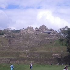
Toniná
86.5 km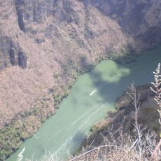
Sumidero Canyon National Park
49.6 km
Chiapas Highlands
22.3 km
Zoológico Miguél Álvarez del Toro
43.1 km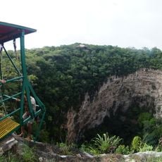
Sima de las cotorras
84.1 km
Cristo de Chiapas
45.4 km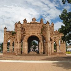
Colonial fountain La Pila
35 km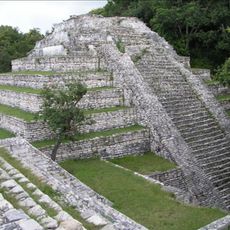
Tenam Puente
82.3 km
Torre Chiapas
43.5 km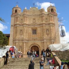
Santo Domingo in San Cristobal de las Casas
23.7 km
Cathedral of Saint Mark the Evangelist
46.6 km
Chiapa de Corzo
33 km
Museo de la Laca and the Santo Domingo monastery
35 km
Templo de Santo Domingo de Guzmán
35 km
Tuxtla Gutiérrez México Temple
51.3 km
Regional Museum of Anthropology and History of Chiapas
46.2 km
Templo de San Sebastián
34.4 km
La Frailesca
67.2 km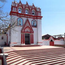
Templo del Calvario
34.3 km
Faustino Miranda Botanical Garden
46.1 km
Park of Chiapa de Corzo
35 km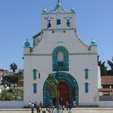
Templo de San Juan Chamula
26.9 km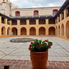
Centro de Textiles del Mundo Maya
23.7 km
San Cristobal Cathedral
23.2 km
Museo del Ambar
23 km
Museo Jtatik Samuel
23.6 km
Museo De La Marimba
47.5 kmReviews
Visited this place? Tap the stars to rate it and share your experience / photos with the community! Try now! You can cancel it anytime.
Discover hidden gems everywhere you go!
From secret cafés to breathtaking viewpoints, skip the crowded tourist spots and find places that match your style. Our app makes it easy with voice search, smart filtering, route optimization, and insider tips from travelers worldwide. Download now for the complete mobile experience.

A unique approach to discovering new places❞
— Le Figaro
All the places worth exploring❞
— France Info
A tailor-made excursion in just a few clicks❞
— 20 Minutes