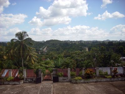
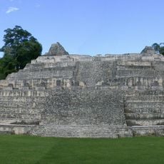
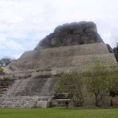
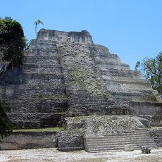
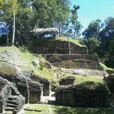
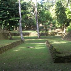
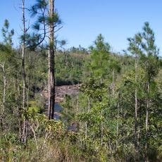
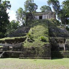
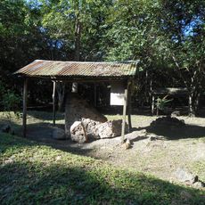
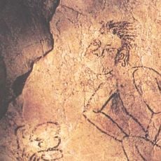
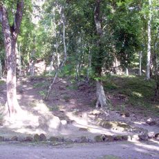
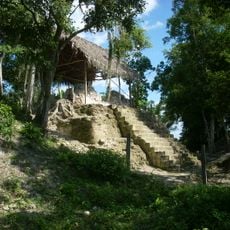
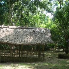
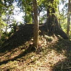
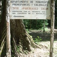
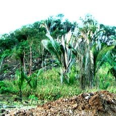
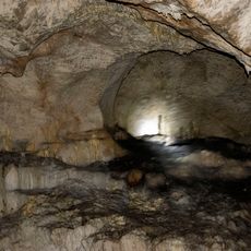
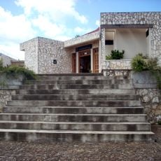
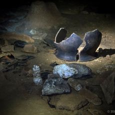
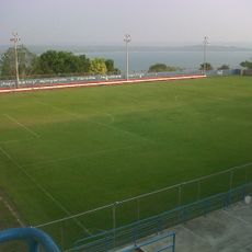
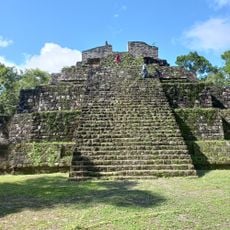
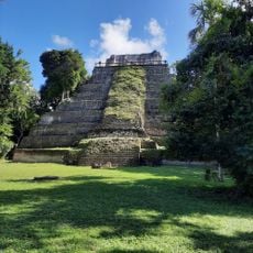
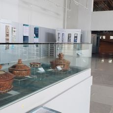
Dolores, municipality in the Petén department of Guatemala
Location: Petén Department
Inception: 1708
Elevation above the sea: 437 m
Shares border with: San Belmopan, Poptún, Santa Ana, Flores, San Francisco, El Petén
GPS coordinates: 16.51417,-89.41583
Latest update: March 27, 2025 07:23
Caracol
42.2 km
Xunantunich
70.2 km
Petén Basin
67.2 km
Yaxha
62.1 km
Naranjo
70.9 km
Nim Li Punit
69.3 km
Mountain Pine Ridge Forest Reserve
73.6 km
Nakum
74.4 km
Tayasal
69.5 km
Naj Tunich
30.5 km
Ixlu
58.5 km
La Blanca
43.4 km
El Chal
28.3 km
Holtun
50.8 km
Ixkun
6.6 km
Sacul
14.6 km
Bladen Nature Reserve
56.6 km
Xunantunich
70.4 km
Ixtutz
29.2 km
Ucanal
39.9 km
Xnaheb
69.3 km
Actún Can
67 km
Museo Regional del Sureste de Petén
232 m
Che Chem Ha Cave
68.2 km
Estadio Julián Tesucún
73.6 km
Sitio Arqueologico Yaxha
62.1 km
Yaxha Visitor Center
60.6 km
Museo Regional Del Mundo Maya
68.8 kmReviews
Visited this place? Tap the stars to rate it and share your experience / photos with the community! Try now! You can cancel it anytime.
Discover hidden gems everywhere you go!
From secret cafés to breathtaking viewpoints, skip the crowded tourist spots and find places that match your style. Our app makes it easy with voice search, smart filtering, route optimization, and insider tips from travelers worldwide. Download now for the complete mobile experience.
A unique approach to discovering new places❞
— Le Figaro
All the places worth exploring❞
— France Info
A tailor-made excursion in just a few clicks❞
— 20 Minutes