Ibarra, Colonial market city in northern Imbabura Province, Ecuador.
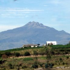
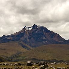
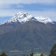
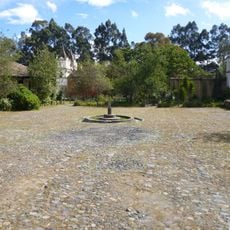
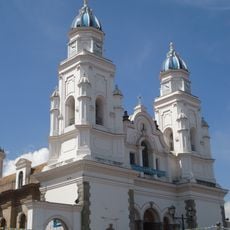
Ibarra sits at 2,225 meters (7,300 feet) in an Andean valley along the Tahuando River, below the slopes of Imbabura Volcano. The streets run through the plain with colonial houses and squares surrounded by low buildings with white facades.
Spanish colonizer Cristóbal Torre founded the settlement in 1606, naming it after Miguel de Ibarra, president of the royal audiencia of Quito. An earthquake destroyed it in the 18th century, and it was rebuilt on its current site.
Every Saturday, vendors fill the streets selling carvings, textiles, and silverwork from the surrounding valleys. Shoppers crowd the squares to buy fresh vegetables and fruit brought by farmers from nearby hillsides.
The Pan-American Highway connects the town to Quito, about 72 kilometers (45 miles) south, with regular bus services running throughout the day. The center is easy to explore on foot, as most squares and streets are close together.
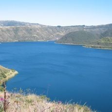
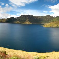
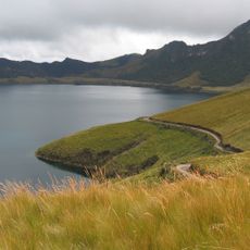
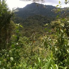
Nearby Laguna de Yaguarcocha, meaning Lake of Blood, takes its name from a battle between local inhabitants and Inca forces. The lake sits just a few kilometers north and is now a popular spot for walks along the shore.
The community of curious travelers
AroundUs brings together thousands of curated places, local tips, and hidden gems, enriched daily by 60,000 contributors worldwide.