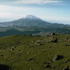
Cocora Valley, Mountain valley in Quindío Department, Colombia
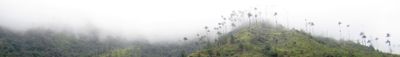
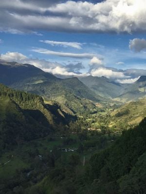
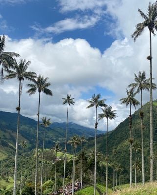
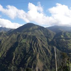
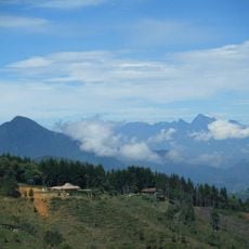
Cocora Valley is a mountain valley in Quindío Department that stretches between 1,800 and 2,200 meters in elevation and is known for its giant wax palms that grow over 150 feet tall. The valley impresses with densely packed palms, steep green slopes, and narrow trails that wind through this natural formation.
The valley was named after Princess Cocora of the Quimbaya people, whose name meant 'star of water' in their language. This naming connects the region today with the pre-Columbian history of the Andes.
The valley is part of Colombia's Coffee Cultural Landscape, where farmers have grown coffee across the mountains for generations. These farming methods continue to shape how the land looks and how people live here today.
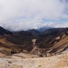
The valley is easily reached from Salento and is regularly visited by local drivers with specialized vehicles. It is possible to walk and explore the surroundings at your own pace while staying on marked paths.
The valley holds the largest concentration of wax palms in Colombia and this tree species was declared the national tree in 1985. The population was then protected to preserve these special plants for the future.
The community of curious travelers
AroundUs brings together thousands of curated places, local tips, and hidden gems, enriched daily by 60,000 contributors worldwide.