
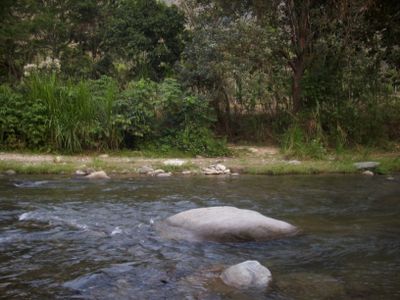
Rionegro, Colombian municipality of the department of Santander
Location: Santander Department
Inception: May 5, 1805
Elevation above the sea: 703 m
Shares border with: Bucaramanga
Website: http://rionegro-santander.gov.co
GPS coordinates: 7.26417,-73.14944
Latest update: September 29, 2025 22:46
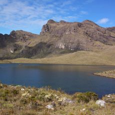
Páramo de Santurbán
29.6 km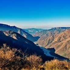
Chicamocha Canyon
52.2 km
Chicamocha National Park
55.2 km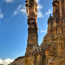
Los Estoraques Unique Natural Area
108 km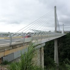
Provincial Viaduct
17.5 km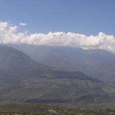
Yariguíes National Park
85.5 km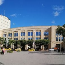
Cúcuta City Hall
99.3 km
Provincia de Ocaña
110.1 km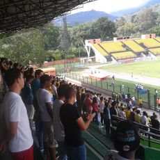
Estadio Álvaro Gómez Hurtado
24.8 km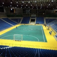
Coliseo Bicentenario
14.5 km
Gobernación de Norte de Santander
99.2 km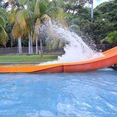
Parque del Agua (Ecoparque Cúcuta)
97.7 km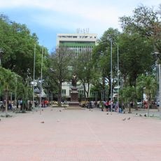
Santander Park
99.3 km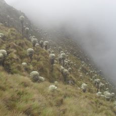
Sisavita Nature Park
38 km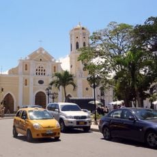
St. Anne's Cathedral, Ocaña
110.4 km
Columna de la Libertad de los Esclavos
110.4 km
Complejo Histórico de la Gran Convención
110.1 km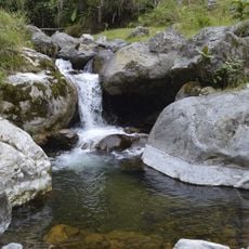
Santurbán-Salazar de las Palmas Regional Park
56.8 km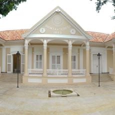
Quinta Teresa, Cúcuta
99.2 km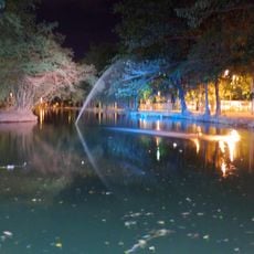
Ecoparque Comfanorte
97.9 km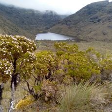
Parque Natural Regional Santurbán Mutiscua-Pamplona
36.4 km
Parque Natural Regional Santurbán-Arboledas
49.3 km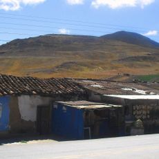
Berlín (Kolumbien)
30.1 km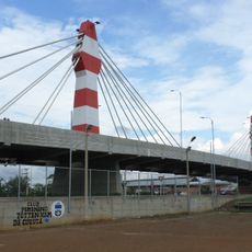
Puente Atalaya, Cúcuta
100 km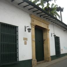
Musée historique du Santander
16.5 km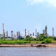
Raffinerie de Barrancabermeja
83.5 km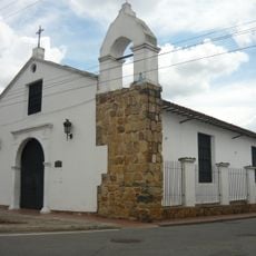
Chapelle de Los Dolores
16.5 km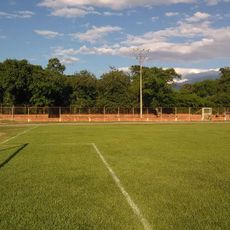
Polideportivo
96 kmReviews
Visited this place? Tap the stars to rate it and share your experience / photos with the community! Try now! You can cancel it anytime.
Discover hidden gems everywhere you go!
From secret cafés to breathtaking viewpoints, skip the crowded tourist spots and find places that match your style. Our app makes it easy with voice search, smart filtering, route optimization, and insider tips from travelers worldwide. Download now for the complete mobile experience.

A unique approach to discovering new places❞
— Le Figaro
All the places worth exploring❞
— France Info
A tailor-made excursion in just a few clicks❞
— 20 Minutes