Santander Department, Administrative department in northeastern Colombia
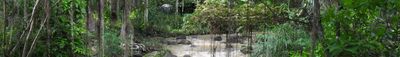
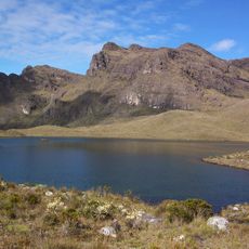
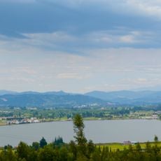
Santander is an administrative division in northeastern Colombia that stretches across mountainous landscapes, river valleys, and dry highlands, bordering Boyacá, Norte de Santander, and the Magdalena River basin. Its capital Bucaramanga sits amid coffee plantations, tobacco fields, and forests that span different climate zones from the Andes to the lowlands.
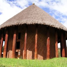
The administrative unit came into being in 1857 as one of the first states in the United States of Colombia, named after a 19th-century independence hero. During colonial times, Guane and Chitareros peoples lived here, and their settlement patterns later shaped Spanish missions and mining colonies.
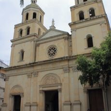
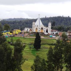
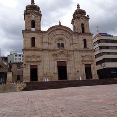
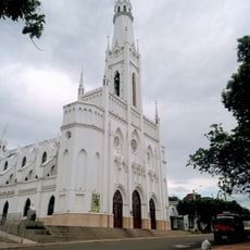
The territory takes its name from a general who fought for independence, while communities celebrate festivals such as Holy Week in Girón or the carnival in Barichara with religious processions and regional dance groups. Local markets sell specialties like cabro, mute santandereano, or hormigas culonas, which residents serve during special occasions.
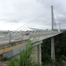
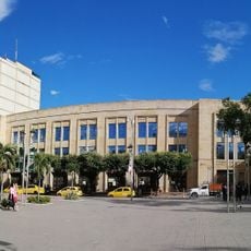
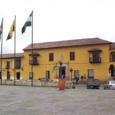
The capital serves as a transport hub with an airport and bus links to smaller towns throughout the territory, while roads often wind through mountain passes. Travelers should account for elevation changes between different parts, as temperatures shift considerably depending on altitude.
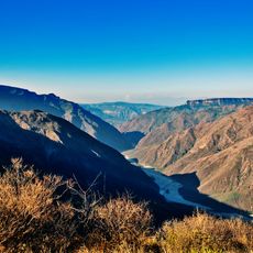
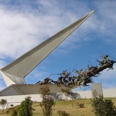
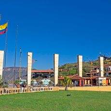
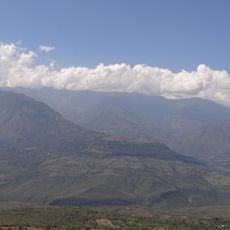
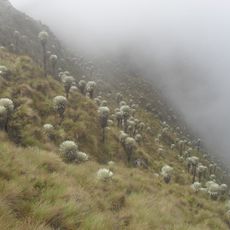
The Chicamocha gorge cuts deep through the landscape, forming one of the deepest canyons in South America where paragliders use the thermal currents. Along its riverbanks grow dry forests and cacti that contrast sharply with the green mountains at higher elevations.
The community of curious travelers
AroundUs brings together thousands of curated places, local tips, and hidden gems, enriched daily by 60,000 contributors worldwide.