Yariguíes National Park, National park in Santander, Colombia
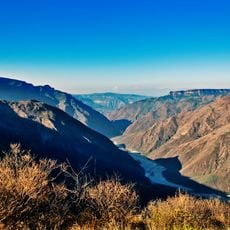
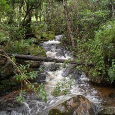
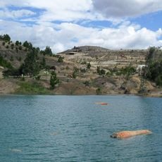
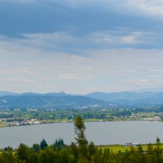
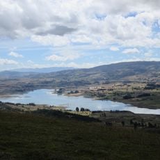
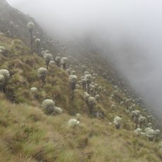
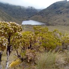
Yariguíes National Park is a protected area in the Eastern Ranges of the Colombian Andes covering roughly 79,000 hectares. The terrain contains cloud forests shrouded in mist, wetland areas nestled in valleys, and highland ecosystems stacked at different elevations across the mountains.
The Colombian government established this protected area in 2005 to safeguard the mountain forests and their wildlife from destruction. This decision came after decades of the region facing threats from human activity and land use changes.
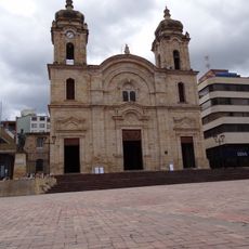
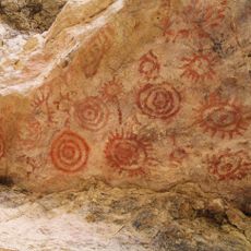
The park is named after the Yariguíes, the indigenous people who lived in these mountains before the Spanish arrived; the alternative name Serranías del Opón also refers to the range. The nearest towns include Simacota, El Socorro, Zapatoca, San Vicente de Chucurí and El Carmen de Chucurí.
The park lies in the Eastern Cordillera of Santander, with the nearest towns including Simacota, Zapatoca, San Vicente de Chucurí and El Carmen de Chucurí. Access is by road from these municipalities; the sources describe no marked trails, viewpoints or visitor facilities inside the park. The terrain spans páramo, subpáramo and Andean, sub-Andean and humid tropical forest, so expect steep ground and fast-changing mountain weather.
Research has confirmed 300 bird species in the park, among them the Santander partridge, the blue-billed curassow and the Yariguíes mountain finch, the last two endemic to the region. More than 60 streams and rivers rise in the serranía, feeding the Suárez and Chicamocha rivers.
The community of curious travelers
AroundUs brings together thousands of curated places, local tips, and hidden gems, enriched daily by 93,844 contributors worldwide.