
Valle La Estrella, district in Limón canton, Limón province, Costa Rica
Location: Limón Canton
Inception: August 10, 1992
Elevation above the sea: 18 m
GPS coordinates: 9.68973,-83.20141
Latest update: April 22, 2025 11:48

Cerro Chirripó
38.9 km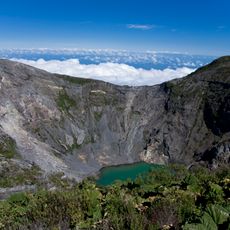
Irazú Volcano
78 km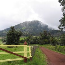
Turrialba
71.7 km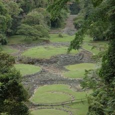
Guayabo National Monument
62.3 km
La Amistad International Park
43 km
Cerro de la Muerte
62.8 km
Irazú Volcano National Park
79.4 km
Nuestra Señora de los Ángeles
80.4 km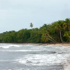
Cahuita National Park
41.5 km
Orosi Church
72.8 km
Chirripó National Park
38.5 km
Talamanca Reserve
42.7 km
Los Quetzales National Park
78.3 km
Tapantí National Park
66.3 km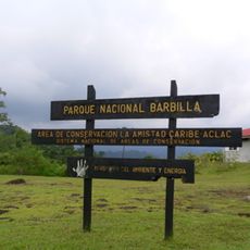
Barbilla National Park
36.9 km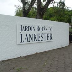
Lankester Botanical Garden
77.4 km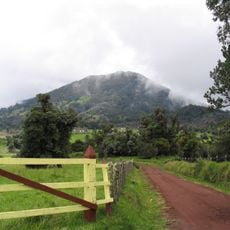
Turrialba Volcano National Park
73 km
Las Mercedes
69.9 km
Cerro Ventisqueros
41.4 km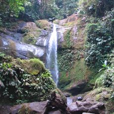
Volio Waterfall
36.7 km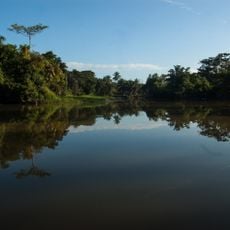
Río Parismina
68.6 km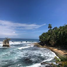
Playa Manzanillo
60 km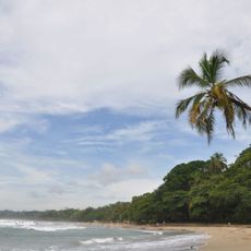
Playa Cocles
51.7 km
Puerto Limón Lighthouse
38.8 km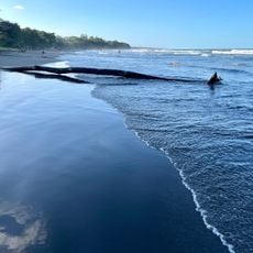
Playa Negra
38.9 km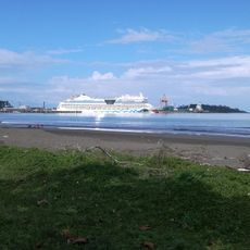
Playa Cieneguita
37.3 km
Talamanca Range-La Amistad Reserves
42.7 km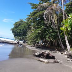
Round Rock Beach
39.4 kmReviews
Visited this place? Tap the stars to rate it and share your experience / photos with the community! Try now! You can cancel it anytime.
Discover hidden gems everywhere you go!
From secret cafés to breathtaking viewpoints, skip the crowded tourist spots and find places that match your style. Our app makes it easy with voice search, smart filtering, route optimization, and insider tips from travelers worldwide. Download now for the complete mobile experience.

A unique approach to discovering new places❞
— Le Figaro
All the places worth exploring❞
— France Info
A tailor-made excursion in just a few clicks❞
— 20 Minutes