Territoire national de La Guajira, Former administrative territory in northern Colombia.
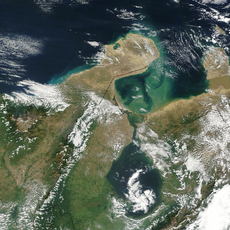
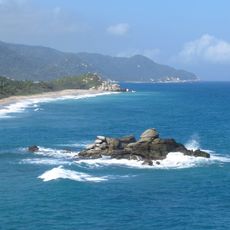
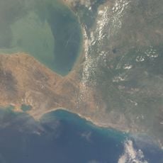
This region in northern Colombia stretches between the Caribbean Sea and Venezuela, encompassing desert landscapes and coastal areas. The territory displays diverse geography shaped by its position between these major boundaries.
The region separated from the Department of Magdalena in 1871 and received a new administrative status. This change marked a turning point in how northern Colombian territory was organized and governed.
The Wayuu people have maintained their distinctive way of life across generations, with their language and customs still practiced by families living throughout the region. Their handwoven textiles and traditional crafts remain central to daily life and represent skills passed down within communities.
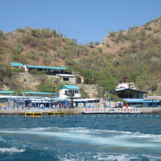
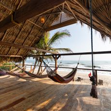
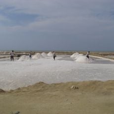
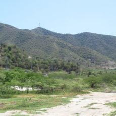
The area encompasses diverse landscapes ranging from dry zones to coastal areas, allowing for varied visitor experiences. Travelers should prepare for different climate conditions when exploring different parts of this region.
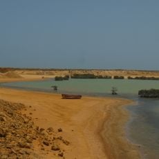
The northernmost tip of this territory is Punta Gallinas, which marks the furthest north point of continental South America. This geographic milestone makes the region a location of special local significance.
The community of curious travelers
AroundUs brings together thousands of curated places, local tips, and hidden gems, enriched daily by 60,000 contributors worldwide.