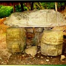
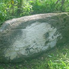
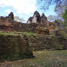
El Tintal, Maya archaeological site in northern Petén, Guatemala
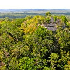
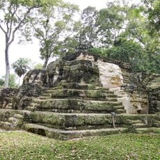
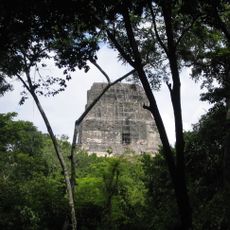
El Tintal is a Maya archaeological site in northern Petén, Guatemala, about 25 km northeast of Carmelita, occupying a hill with four swampy areas in its core. The Mirador Basin Project mapped 9 sq km and recorded 850 major structures up to 50 m high, including triadic pyramids and the largest ballcourt yet found in the Maya lowlands.
El Tintal was occupied from the Preclassic through the Classic period, with its heaviest occupation in the Late Preclassic (300 BC–AD 150) and Late Classic. Its monumental architecture dates to the Middle Preclassic, and wide causeways linked it to El Mirador and Nakbé. Heinrich Berlin first visited in the 1950s; Ian Graham and Joyce Marcus dug test pits in 1970, and the Mirador Basin Project began systematic excavations in 2004.
The civic centre, the Mano de León Complex, is ringed by a wide, deep ditch about 15 m across, up to 8 m deep and 2.2 km long; Preclassic houses along its edge suggest a Preclassic date, and it may have been defensive, a water source or a boundary. The name El Tintal refers to the tintal, a grove of tintal trees (Haematoxylum campechianum), whose wood yields a blue dye.
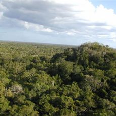
El Tintal lies in dense virgin rainforest north of Carmelita and is reached only by mule trails, so access depends on an organised expedition with a guide. The mapped core covers 9 square kilometres with 850 structures, and the ground includes four swampy areas, so allow several days rather than a single outing.
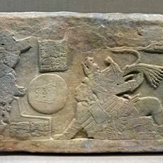
The Mano de León complex, the civic centre, is enclosed by a ditch averaging 15 m wide, up to 8 m deep and 2.2 km long, probably defensive. The site has been heavily looted: 2,154 looters' trenches were mapped, averaging 2.54 per structure, and a painted Codex-style vessel dated to about AD 700–750 was found southwest of the complex.
The community of curious travelers
AroundUs brings together thousands of curated places, local tips, and hidden gems, enriched daily by 93,778 contributors worldwide.