Chest opened
+${chestReward.xp} XP
Explorer
NOUVEAU ×${chestReward.collectible.quantity}
tapez pour fermer
Chest locked

Open chests in the app

Around Us is built for your phone — chests unlock when you walk, explore and capture nearby places.

Enable Location

We need your location to show you interesting places around you

Discover nearby places

Find interesting locations and hidden gems around you

Precise directions

Get accurate directions and distances to places

Your location is never shared with other users. It's only used when you tap the location button.

Múzquiz

Log in to your account

Start exploring — it's free

Trusted by 72,891 travelers worldwide

Continue with Google
Continue with Apple
or

We will send you a code to connect

By continuing, you accept our Terms and Conditions and our Privacy Policy

Check your inbox

We've sent a pincode in your inbox. Please enter the code below.

Discussion Reviews 1 Photos
18.7k Popularity

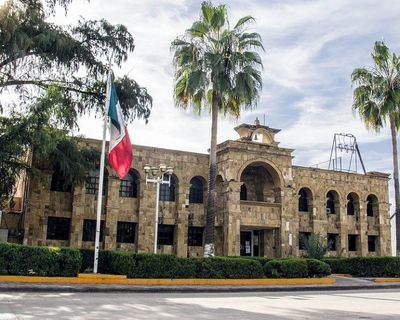
Múzquiz, Municipal administrative center in Coahuila, Mexico.

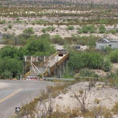
Múzquiz is an administrative region in northeastern Mexico that encompasses the city of Santa Rosa de Múzquiz and several communities developed around mining activities. The territory includes multiple towns and settlements organized under a central municipal government.

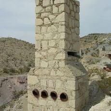
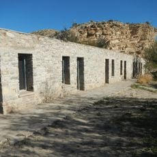
Spanish authorities established a garrison here in 1735 and named it in honor of a Mexican president in the 1800s. This founding shaped its development as an administrative and regional center.

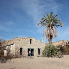
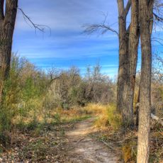
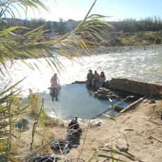
In El Nacimiento, a community within Múzquiz, Kickapoo and Mascogo peoples maintain their traditions through gatherings and celebrations throughout the year. Visitors can observe how these groups keep their heritage alive in daily life and seasonal events.

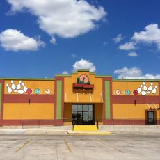
The main administrative center is Santa Rosa de Múzquiz, where local services and information are based. Various communities are connected by roads, with local transportation options available for getting around the region.

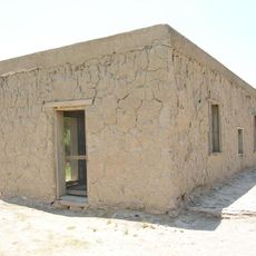
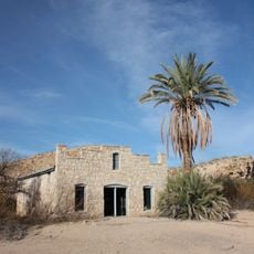
El Nacimiento is home to descendants of enslaved people who fled from the United States in the 1800s and preserved their distinct way of life. This community represents a lesser-known chapter of migration and refuge within Mexico.

The community of curious travelers

AroundUs brings together thousands of curated places, local tips, and hidden gems, enriched daily by 60,000 contributors worldwide.

Start exploring
Location
Capital city
Melchor Múzquiz
GPS coordinates
28.35000,-101.93333
Latest update
December 7, 2025 10:08
Around this place
Amistad Reservoir
Mexico

Amistad Reservoir

149.3 km
Seminole Canyon State Park and Historic Site
United States of America

Seminole Canyon State Park and Historic Site

160.1 km
Amistad National Recreation Area
United States of America

Amistad National Recreation Area

148.5 km
Fort Duncan
United States of America

Fort Duncan

145 km
Hot Springs
United States of America

Hot Springs

139 km
La Linda International Bridge
Mexico

La Linda International Bridge

150 km
Eagle Pass – Piedras Negras International Bridge
Mexico

Eagle Pass – Piedras Negras International Bridge

144.5 km
Del Río – Ciudad Acuña International Bridge
Mexico

Del Río – Ciudad Acuña International Bridge

146.4 km
Lake Amistad Dam International Crossing
United States of America

Lake Amistad Dam International Crossing

149.2 km
Camino Real International Bridge
United States of America

Camino Real International Bridge

144.4 km
Mariscal Mine
United States of America

Mariscal Mine

147.8 km
Whitehead Memorial Museum
United States of America

Whitehead Memorial Museum

150.4 km
Boquillas Canyon
United States of America

Boquillas Canyon

133.5 km
Mexico

Rio San Rodrigo

141.4 km
Union Pacific International Railroad Bridge
Mexico

Union Pacific International Railroad Bridge

144.5 km
Martyrs of Christ the King Cathedral, Piedras Negras
Mexico

Martyrs of Christ the King Cathedral, Piedras Negras

139.2 km
Daniels Farm House
United States of America

Daniels Farm House

137.5 km
Desert Lanes
United States of America

Desert Lanes

148.5 km
Dugout Wells
United States of America

Dugout Wells

155.8 km
Aztec Theatre
United States of America

Aztec Theatre

145.5 km
Rio Grande Village Campground
United States of America

Rio Grande Village Campground

136.1 km
Rio Grande Village Campground Amphitheater
United States of America

Rio Grande Village Campground Amphitheater

136.3 km
Hot Springs Store
United States of America

Hot Springs Store

138.9 km
Livingston House
United States of America

Livingston House

139 km
Langford Hot Springs
United States of America

Langford Hot Springs

138.8 km
Boquillas Canyon Overlook
United States of America

Boquillas Canyon Overlook

134.8 km
Tornillo Creek Bridge
United States of America

Tornillo Creek Bridge

140.5 km
Hot Springs Cabins
United States of America

Hot Springs Cabins

138.9 km
Show the full map
Reviews
Share your experience

No review yet

Discussions
Start a discussion...

No discussion yet

« Múzquiz - Municipal administrative center in Coahuila, Mexico » is provided by Around Us (aroundus.com). Images and texts are derived from Wikimedia project under a Creative Commons license. You are allowed to copy, distribute, and modify copies of this page, under the conditions set by the license, as long as this note is clearly visible.

Discover hidden gems everywhere you go!

From secret cafés to breathtaking viewpoints, skip the crowded tourist spots and find places that match your style. Our app makes it easy with voice search, smart filtering, route optimization, and insider tips from travelers worldwide. Download now for the complete mobile experience.

Around Us App Screenshot

A unique approach to discovering new places

Le Figaro

All the places worth exploring

France Info

A tailor-made excursion in just a few clicks

20 Minutes

Around Us
Travel Guide & Maps
Download

Send to your phone

QR Code
1

Open the camera app on your mobile.

2

Point at the QR code with your camera. A notification will appear.

3

Tap the notification to open the link.