Red River, Major river system in Texas, Oklahoma, Arkansas, and Louisiana, US
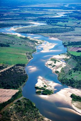
The Red River is a waterway that runs through the southern United States and empties into the Gulf of Mexico. Its water often carries a rust tone caused by iron-rich sediment picked up along the way.
The waterway marked part of the boundary between the United States and Mexico following the Adams-Onís Treaty in 1819. This role ended in the mid-1800s after Texas joined the union and the Treaty of Guadalupe Hidalgo was signed.
Native American groups, including the Lipan Apache, Wichita, Tonkawa, and Caddo Confederacy, established settlements along different sections of the river.
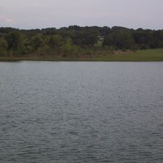
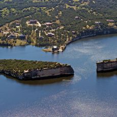
The Denison Dam built in 1944 created Lake Texoma and helps control water levels and flooding throughout the system. The lake sits about 75 miles (120 kilometers) north of Dallas and offers access to shoreline areas and water-based activities.
A massive buildup of logs called the Great Raft blocked roughly 160 miles of the waterway until the 1800s. Henry Miller Shreve designed special boats with paddles and winches to clear the centuries-old jam piece by piece.
The community of curious travelers
AroundUs brings together thousands of curated places, local tips, and hidden gems, enriched daily by 60,000 contributors worldwide.