Archipelagoes of Patagonia, Island chain in southern Chile
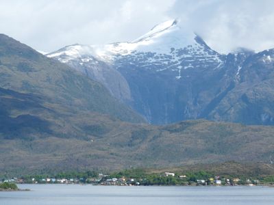
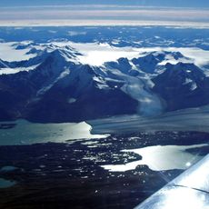
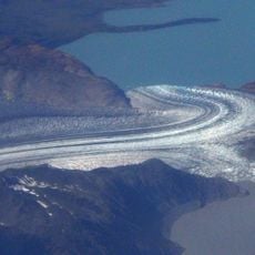
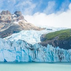
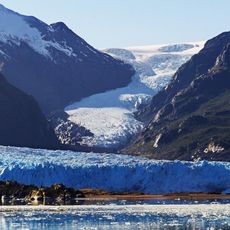
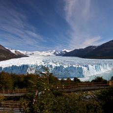
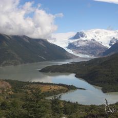
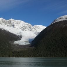
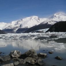
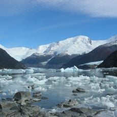
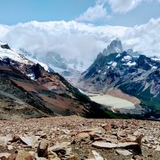
The Archipelagoes of Patagonia stretch along Chile's Pacific coast with hundreds of islands separated by deep channels and fjords. This system extends from Tierra del Fuego northward to Chiloé and creates one of the world's most complex coastal landscapes.
Spanish explorers navigated these waters in the 16th century and established the Strait of Magellan as a major shipping route. This passage became one of the world's most important maritime corridors for international trade.
The indigenous Chono people relied on the sea for daily survival, developing specialized boats from local materials to hunt and fish in these isolated waters. This deep connection to the ocean shaped how people lived and moved through this region.
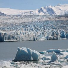
These islands are accessible only by ship, with expedition cruises departing from Punta Arenas or Puerto Natales between October and March. Weather is unpredictable year-round, so visitors should bring waterproof gear and prepare for changing conditions.
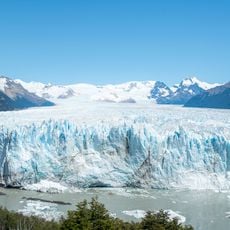
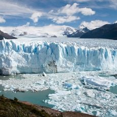
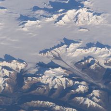
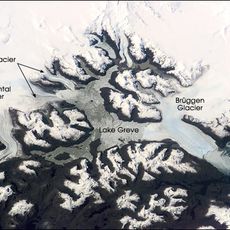
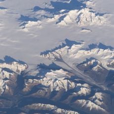
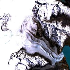
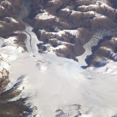
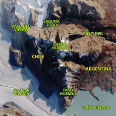
The archipelago contains over 40,000 islands and islets, many remaining unnamed and unexplored. This extreme remoteness and harsh environment make it one of the least known coastal regions on Earth.
The community of curious travelers
AroundUs brings together thousands of curated places, local tips, and hidden gems, enriched daily by 60,000 contributors worldwide.