Fiambalá, human settlement in Argentina
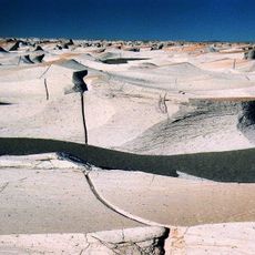
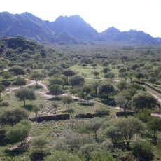
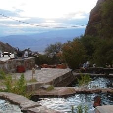
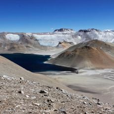
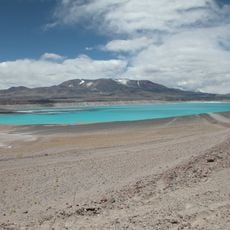
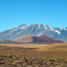
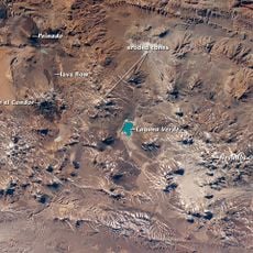
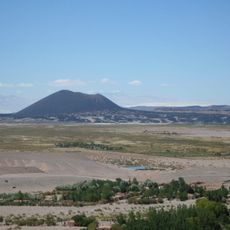
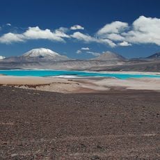
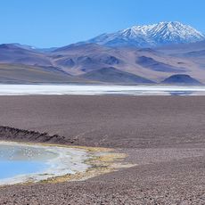
Fiambalá is a small municipality in Catamarca Province, set within the Andes mountains with quiet streets lined by adobe houses and small shops. It serves as a gateway to natural attractions including hot springs, multicolored mountains, sand dunes, and high-altitude lakes throughout the surrounding region.
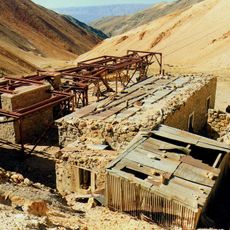
The area was shaped by Andean cultures and its name comes from the language of early inhabitants. Colonial history left traces through adobe churches and traditional buildings along the historic route between Fiambalá and Tinogasta.
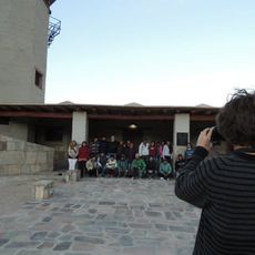
The town reflects Andean roots through traditional festivals featuring music and dance that continue throughout the year. Local stories and customs remain alive in the community, shaping how people gather and celebrate together in this quiet mountain setting.
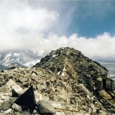
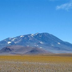
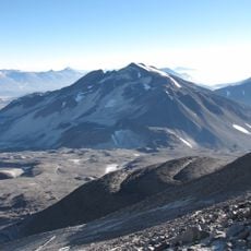
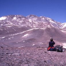
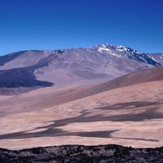
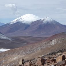
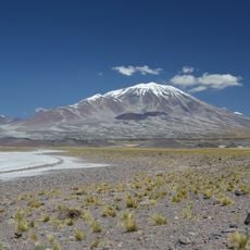
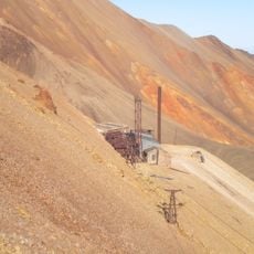
The location sits in mountainous terrain and requires a sturdy vehicle to reach higher attractions like Balcón del Pissis, especially on unpaved roads. The climate shifts between warm days and cold nights, so layered clothing is essential, and visits work best during warmer months.
Hand-sculpted Christ statues in the villages of Medanitos and Antinaco stand out as one-of-a-kind artworks created without molds. These structures reflect the religious devotion of local communities and form part of a cultural route through the northern area.
The community of curious travelers
AroundUs brings together thousands of curated places, local tips, and hidden gems, enriched daily by 60,000 contributors worldwide.